An opportunity to take a few moments to review where things stand and what has been accomplished. January 2015 also marks 7 years that I have been guiding and blogging. I’ve built a website about Israel to market my guiding services, including a comprehensive blog and an online store [update, the store is no longer active]. I am using a blog theme called Twenty Twelve, a clean, modern design with more capabilities. I have now over 300 blog posts. There were over 82,000 page views in each of the last two years. There are currently 308 people who have subscribed to my blog and another 334 via Facebook.
- Off the Beaten Track #2
- Off the Beaten Track #1
- 2023 & 2024 in Review
- Photographs with a drone
- Dagon fortress and Monastery at Qarantal
- Posts on Facebook
- Off the Beaten Track #3
- Touring Israel in 16 days
- Off the Beaten Track #4
- Coastline series
- Snow Photos of the Day
- Favorite Photographs of 2020
- Photographs For Sale
- Re-discovering Sussita
- Samaria-Sebaste
- Synagogues on the Golan
- Wildflowers on the shore of the Dead Sea
- Favorite Photographs of the Year
- Photography Exhibit
- Through the Lens, Dead Sea
- Photo of the Week – Along the Allon Road
- Photo of the Week – Kokhav HaShahar
- Masada and Herodium
- Super Moon over Dead Sea, Israel
- One shot, two ways
- Photo of the Week – Samaria
- Photo of the Week – Reflection on Sinkholes
- Philip Evangelist at Ein Henya Spring
- Naharayim – Two Rivers
- More Kalaniot, Red Anemones
- 2016 in Review
- Photo of the Week – Nahal Zin
- Photo of the Week – Makhtesh exit
- Yam l’yam: Start at Achziv
- Photos Touring the Negev
- Photo of the Week – Red Canyon
- Photo of the Week – Solomon’s Pillars
- Pharaoh in Canaan Exhibit
- Photo of the Week – Poppies in Emeq HaEla
- Photo of the Week – Sinkholes at Dead Sea
- Photo of the Week – Judean Desert
- Jerusalem Park: Lifta
- Lupines at Tel Socho
- Photo of the Week – Meron synagogue
- Photographs from Nahal Og
- Photo of the Week – Kalaniot in Negev
- In the Large Makhtesh
- Great Makhtesh Photography Adventure
- Experiencing Israel
- Two Tuviae, botanist and soldier
- Seeing Red: Kalaniot in Negev
- Emperor Hadrian returns to Jerusalem
- Photo of the Week – Palmahim
- Photo of the Week – Nahal Katlav
- 2015 Year in Review
- Photographs at Dead Sea
- Photo of the Week – Nahal Soreq
- Yam l’yam – Hiking Sea to Sea (3 days)
- Nahal Og
- Negev
- Photo of the Week – Wadi Qelt
- Photo of the Week – Flowers in Judean Desert
- Jerusalem under Snow
- The Enigma that is Herodium
- Through My Lens, Dead Sea
- Photo of the Week – Sunset at Large Makhtesh
- A Glimpse of the Tomb of Moses
- Through My Lens, Textures
- Wadi Qelt by Jericho
- View from Herodium
- Rosh Hashana 2014
- Photo of the Week – Zavitan on Golan
- Sodom Apple
- Tiberias from 1st Century to Ottoman Conquest
- Hiking the Makhtesh
- Magdala on Sea of Galilee
- Gustav Bauernfeind and Orientalism
- Photo of the Negev
- Sunset in the Desert
- Trees, Almond and Tu Bish’vat
- Silver shekel coins
- 2013 Year in Review
- Roman Amphitheaters in Israel
- Reflection on Ein Avdat
- Nahal Prat or Wadi Qelt
- Guiding in the Snow
- Golan Heights Tour
- Cranes at the Hula
- Autumn on Mount Hermon
- A Look into Loggia at Herodium
- Sinkholes at Dead Sea
- Photographing Wildlife at Ein Gedi
- Passion Flower
- Israel Roundup
- Gedaliah at Mizpa
- Pomegranate for Rosh Hashana
- Weekly Photo Challenge: Sea
- Jerusalem Landmarks, Montefiore to Calatrava
- Through My Lens at Israel Museum
- Weekly Photo Challenge: One Shot, Two Ways
- Hisham’s Palace in Jericho
- Flora of Israel – Broomrape
- A Different Stretch of Beach
- Photo of the Week – Mediterranean Sky
- Photo of the Week – Dead Sea Colors
- Matthaus Frank and German Colony
- Photo of the Week – Nahal Peratzim
- Photo of the Week – Red Canyon Colors and Textures
- Flora of Israel – Mandrake
- Photo of the Week – Gamla
- Photo of the Week – Tel Arad
- Flora of Israel – Caper
- Bethlehem
- Photo of the Week – Nitzana
- Israel Roundup
- Church of the Annunciation, Nazareth
- Nazareth
- Photo of the Week – Judean Desert
- Prince of Wales Pine Tree
- Christian Pilgrim Itinerary (9 days)
- Photo of the Week – Ibex
- Photo of the Week – Heron at Kinneret
- Photo of the Week – View from Herodium
- Mosaics at Bet Qama
- Visit Palestine with Shmuel
- Photo of the Week – Dancing Clouds
- Israel Roundup
- Bethesda Pool and Church of Santa Anna
- Photo of the Week – Banias Stream
- Tzfat Synagogues
- Expert Travel Recommendations Israel
- Photo of the Week – Poleg beach
- Crusader Jerusalem
- Photo of the Week – Negev Brigade Monument
- Yom HaZikaron to Yom HaAtzmaut
- Photo of the Week – Golan
- Photo of the Week – Sea of Galilee (Kinneret)
- From the Golan Heights
- Photo of the Week – Makhtesh
- Photo of the Week – Dead Sea Works Moonrise
- Wildflowers in Judean Desert
- Mar Saba and Judean Desert Revisited
- Photo of the Week – Dor Habonim beaches
- Camels in the Bible
- Photo of the Week – Tumulus in Negev
- Nebi Samuel
- Photo of the Week – Geomorphology
- Photo of the Week – Look over Jordan
- Israel Roundup
- Euthemius, Judean Desert Monastery
- Photo of the Week – Kurkar on Beach
- Herod – Design and Realpolitik
- Herodium, Netzer, King Herod and the Israel Museum
- Monumental enough for Herod the Great?
- Photo of the Week on Golan Trail
- Photo of the Week – Nahal Darga
- From Israel – what to call this?
- Photo of the Week?
- Trees on Tu Bishvat – Carob
- Photo of the Week – Keshet Cave
- Dome of the Chain on Haram el-Sharif
- Ein Karem and Barluzzi’s Church of the Visitation
- Photo of the Week – Meron Synagogue Ruins
- Jerusalem the White City
- Archaeology in Israel Tour
- Photo of the Week – Mystical Tzfat
- Site Map update
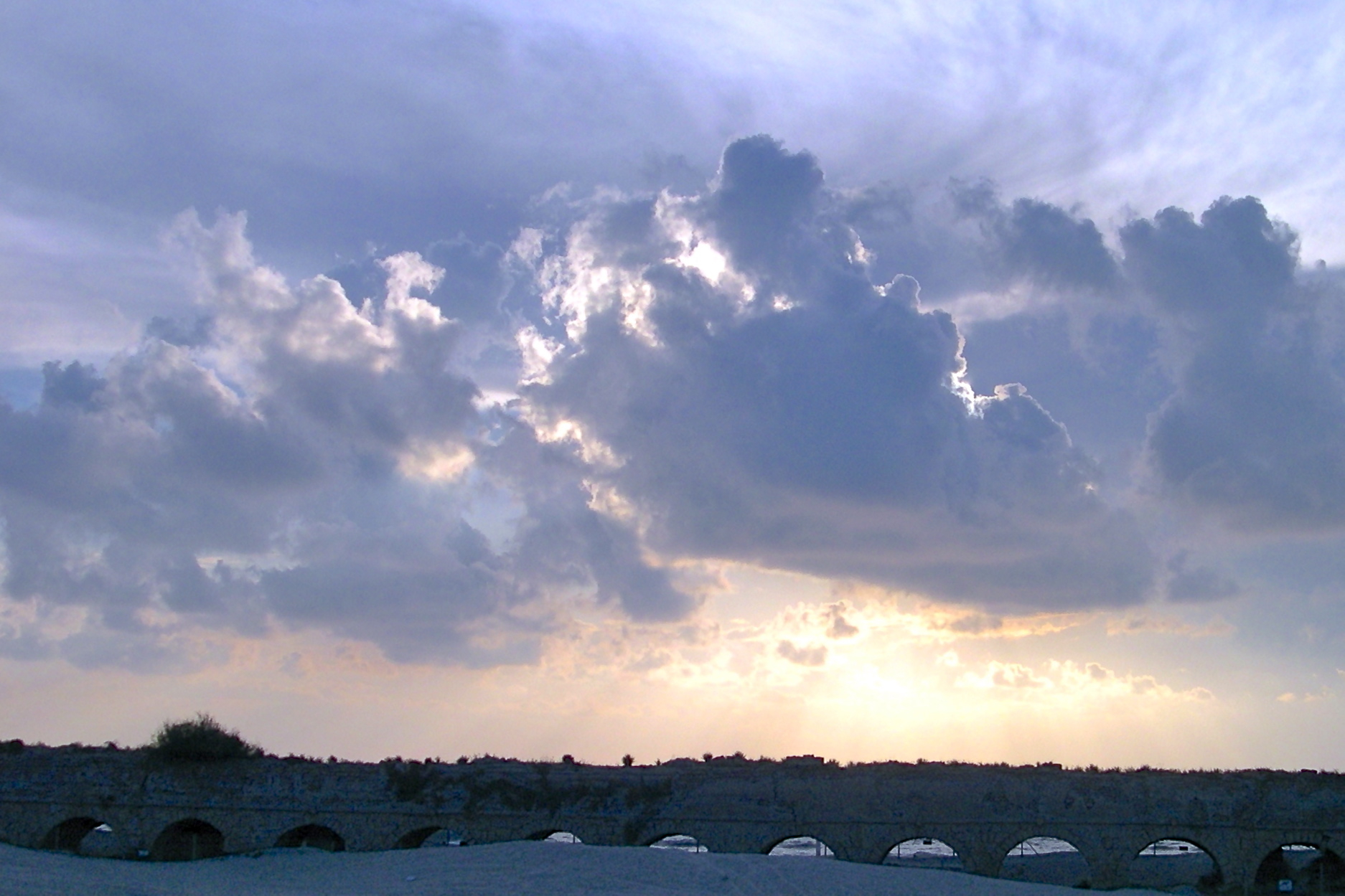
- Photo of the Week – Aqueduct to Caesarea
- Photography and Visitors to the Holy Land
- Photo of the Week near Avdat
- Immigration to Palestine and Israel
- Where is Magidovitch Street?
- Photo of the Week – Desert Landscape
- Introducing Fallow Deer
- Photo of the Week – Flamingo
- Photo of the Week – Timna Cliffs
- Online Store
- Photo of the Week – Cranes at Agamon HaHula
- Tel Aviv Historical Walking Tour
- Biodiversity at Jerusalem Botanical Gardens
- Photo of the Week – Jordan River
- Sternbergia on my mind
- Temple at Omrit—Herod or Philip
- Photo of the Week – Khirbet Anim
- Native Trees, Wooden Boat
- Nahal Peratzim
- Photo of the Week – Lower Herodium
- Other Church at Capernaum
- Photographs 1900
- Photo of the Week – Bet Shean
- Photo of the Week – Red Sinkhole
- Photo of the Week – Nahal Darga
- Photo of the Week – Nahal Saar
- Photo of the Week – Shehoret Canyon
- Photo of the Week – Dead Sea
- Roman Mausoleum
- Photo of the Week – Ein Gedi
- Stone Age Figurines discovered near Jerusalem
- New for Rosh Hashana
- What Tree is the Sycamine?
- Photo of the Week – Ein Gedi Sinkhole
- Photo of the Week – Golan
- Israel 10 day tour
- Photo of the Week – Nahal Og
- Photo of the Week – Salt, Sea & Sky
- Photo of the Week?
- Photo of the Week – Red Canyon
- Samaria-Sebaste
- Blessing on Mount Gerizim
- Temple on 17 Tammuz
- Mar Saba, a Judean Desert Monastery
- Technology at Israel Museums
- Early Counterfeit Silver Coin
- First Temple period Seal
- Model of Herod’s Tomb
- Khirbet Hanut Mosaic Vandalized
- Lights over Egypt, Israel and Jordan from Space
- Dead Sea Shrinking
- Almond Blossoms on Tu Bishvat
- Hiking Nahal Mikhmas
- Responsible Travel
- Cable over Hinnom valley
- Hiking the Makhtesh
- Kathisma Church
- Falafel Fast Food Israel
- Hiking Israel
- Dome of the Rock
- Hiking Nahal Og
- Not in Herod’s Lifetime
- Rujm el-Hiri Revisited
- Hiking Wadi Qelt – St George Monastery
- Four sites in Old City
- Photo Walk
- Khirbet Qeiyafa
- Walking underground to Robinson’s Arch
- Jerusalem Tombs
- “Top Ten” Jerusalem Sites
- Tisha b’Av
- Gold Jewelry
- A Morning on Mount Scopus
- Miriam… Caiaphas Ossuary
- Discovering Sussita
- Gamla – Nature, Archaeology and History
- Springs in Jerusalem Hills
- Mount Arbel
- Transfiguration on Mount Tabor
- Wind Turbines on Golan Trail
- Last Supper Passover
- Bahai Shrine of the Báb
- Moshe Castel and Israel Art
- “Top Ten” Biblical Archaeological Discoveries
- Hirbet Midras Vandalized!
- House of David Stele
- Ketef Hinnom Silver Amulet
- Desert Wildflowers
- Israel Trail Encounter
- Chagall Windows
- Antonio Barluzzi
- Mary Magdalene
- Acre Prison Break
- Sites around Akko
- Ardon Windows
- Jewish Hirbet Midras
- Mosaics at Hirbet Midras
- Byzantine Church, Hirbet Midras
- Jerusalem Armenian Ceramics
- Two Churches: Mary and Jesus
- Hurva Synagogue
- Bet Shean – Scythopolis
- Ohel Yitzchak Synagogue
- Phoenician Glass-blowing to Chihuly
- Earthquakes in History and Archaeology
- Archaeological Ruins at Cypros
- Rosh HaNikra – Cliffs and Grottos
- Caesarea-Maritima, Herod’s Promontory Palace
- Blogging and Guiding
- Nubian Ibex
- Aftermath of Carmel Fire
- Meze Appetizers
- Archaeological Artifacts with Names
- Caiaphas Family Tomb and Ossuary
- Columbarium for doves
- Madaba map
- Eclectic Style Architecture
- Art and Architecture, Jaffa
- Jaffa railway station
- Bauhaus Architecture Tour
- UN Partition Plan – November 29, 1947
- Food Discoveries at Masada
- Tour of Herodium Palace Complex
- Ashdod Cruise Ship Tours
- Roman Bathing Pool
- 墨絵 Jerusalem Sumi-e
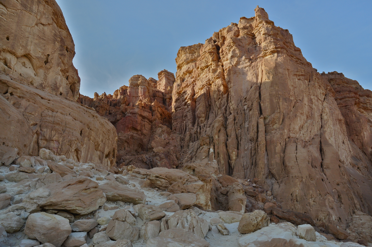
- Red Canyon
- Olive Park, Ramat Rahel
- Coins found in archaeological excavations
- Aqueduct at Caesarea
- Bird Mosaic at Caesarea
- Nymphaeum at Herodium?
- Roman Theater Box at Herodium
- Pomegranates at Jewish New Year
- What to see in Jerusalem
- Hiking Nahal Dragot
- Roman Bath House from Herodium
- Upside Down, Jerusalem
- New Israel Museum
- Oskar Schindler’s grave
- Jaffa
- Segway Tour
- Katlav
- Roman Cardo
- Hurva Synagogue views
- Agamon Hula Lake
- Makhtesh HaKatan
- Nahal Saar
- Spring wildflowers
- 4–Day Itinerary
- Mosaics at Inn of Good Samaritan
- Mount Sodom
- Masada at Sunrise
- Wildflowers, after the rain
- Nimrod, Golan
- Hiking Nahal Yehudia
- The Dead Sea
- Negev desert
- Ein Gedi
- Herzl and Kaiser Wilhelm II
- Judean palm
- Bar/Bat mitzva in Israel
- Wildflowers, before the rain
- Golan Wineries
- Someone to Tour With – Kids Tour with a Golden Retriever
- Nature and Nurture
- Golan Vineyards and Wineries
- Golan Sparkling Wine
- Israel with kids
- Brandy
- Heap of the Wild Cat
- Wine tour
- Jerusalem Restaurant Recommendations
- Jerusalem Underground
- City of David: Inscription & bulla
- Herod’s Mausoleum and Sarcophagus at Herodium
- Siloam Pool
- Yatir forest
- Hike Sea to Sea
- Hike above Bab el Wad
- Why hire a Guide?
- Family Trip (7-day tour)
- Mahane Yehuda market
- Dead Sea: Hiking Nahal Zohar
- Finding a guide at the last minute
- Dead Sea: Hiking and Qumran
- German Colony Walking Tour
- Dead Sea – Lowest Place on Earth
- Tour of Herodium and Herod’s Tomb
- Map of Mahane Yehuda Market
- Christian 4-day itinerary
- Fastfood Slowfood
- Negev touring and Dead Sea
- Snow in Jerusalem
- Gamla, in the Golan
Here are some of my favorite posts from the last couple of years.
On November 20th a rocket from Gaza landed just 6.5km from our house in Jerusalem while I was writing a post about the Jerusalem botanical garden during Operation Pillar of Defense.
Because I studied computers and worked in High Tech before becoming a tour guide, I wrote an article about how the museums in Israel are using technology to share their collections with the world.
Based on an email exchange with a pastor in England asking about the sycamine tree mentioned in Luke 17:6 I researched and wrote about it.
Starting on August 5th every week on Sunday I’ve posted one of my photographs of Israel as a Photo of the Week.
I wrote two blog posts about early photographs taken in the Holy Land, by Francis Bedford on the 1862 visit of Edward, Prince of Wales and by photographers of the American Colony at the turn of the century.
There were a number of sites that were on my list: Mar Saba, Sebaste, Mount Gerizim and Omrit— I visited them and wrote them up on my blog.
I built an HTML site map:
- HOME
- ABOUT
- RESPONSIBLE TRAVEL
- SITE MAP
- WHY
- BLOG
- Photo of the Week – Aqueduct to Caesarea 2012
- Visitors to the Holy Land
- Photo of the Week near Avdat
- Immigration to Palestine and Israel
- Where is Magidovitch Street?
- Photo of the Week – Desert Landscape
- Introducing Fallow Deer
- Photo of the Week – Flamingo
- Photo of the Week – Timna Cliffs
- New Online Store – Status
- Photo of the Week – Cranes at Agam HaHula
- Tel Aviv Historical Walking Tour
- Biodiversity at Jerusalem Botanical Gardens
- Photo of the Week – Jordan River
- Sternbergia on my mind
- Temple at Omrit—Herod or Philip
- Photo of the Week – Khirbet Anim
- Native Trees, Wooden Boat
- Nahal Peratzim
- Photo of the Week – Lower Herodium
- Other Church at Capernaum
- Photographs 1900
- Photo of the Week – Bet Shean
- Photo of the Week – Red Sinkhole
- Photo of the Week – Nahal Darga
- Photo of the Week – Nahal Saar
- Photo of the Week – Shehoret Canyon
- Photo of the Week – Dead Sea
- Photo of the Week – Ein Gedi
- Roman Mausoleum
- Photo of the Week – Ein Gedi Sinkhole
- Stone Age Figurines discovered near Jerusalem
- New for Rosh Hashana – Status
- What Tree is the Sycamine?
- Photo of the Week – Golan
- Photo of the Week – Nahal Og
- Israel 10 day tour
- Photo of the Week – Sea, Salt & Sky
- Photo of the Week?
- Photo of the Week – Red Canyon
- Samaria-Sebaste
- Blessing on Mount Gerizim
- Temple on 17 Tammuz
- Mar Saba, a Judean Desert Monastery
- Technology at Israel Museums
- Early Counterfeit Silver Coin
- First Temple period Seal
- Model of Herod’s Tomb
- Khirbet Hanut Mosaic Vandalized
- Lights over Egypt, Israel and Jordan from Space
- Dead Sea Shrinking
- Almond Blossoms on Tu B’shvat
- Hiking Nahal Mikhmas
- Responsible Travel
- Cable over Hinnom valley 2011
- Hiking the Makhtesh
- Kathisma Church
- Falafel Fast Food Israel
- Hiking Israel
- Dome of the Rock
- Hiking Nahal Og
- Not in Herod’s Lifetime
- Rujm el-Hiri Revisited
- Hiking Wadi Qelt
- Four sites in Old City
- Khirbet Qeiyafa
- Walking underground to Robinson’s Arch
- Jerusalem Tombs
- “Top Ten” Jerusalem Sites
- Tisha b’Av
- Gold Jewelry
- A Morning on Mount Scopus
- Miriam… Caiaphas Ossuary
- Discovering Sussita
- Gamla – Nature, Archaeology and History
- Springs in Jerusalem Hills
- Mount Arbel
- Transfiguration on Mount Tabor
- Wind Turbines on Golan Trail
- Last Supper Passover
- Bahai Shrine of the Báb
- Moshe Castel and Israel Art
- “Top Ten” Biblical Archaeological Discoveries
- Hirbet Midras Vandalized!
- House of David Stele
- Ketef Hinnom Silver Amulet
- Desert Wildflowers
- Israel Trail Encounter
- Chagall Windows
- Antonio Barluzzi
- Mary Magdalene
- Acre Prison Break
- Sites around Akko
- Ardon Windows
- Jewish Hirbet Midras
- Mosaics at Hirbet Midras
- Byzantine Church, Hirbet Midras
- Jerusalem Armenian Ceramics
- Two Churches: Mary and Jesus
- Hurva Synagogue
- Bet Shean – Scythopolis
- Ohel Yitzchak Synagogue
- Phoenician Glass-blowing to Chihuly
- Earthquakes in History and Archaeology
- Archaeological Ruins at Cypros
- Rosh HaNikra – Cliffs and Grottos
- Caesarea-Maritima, Herod’s Promontory Palace
- Blogging and Guiding 2010
- Nubian Ibex
- Aftermath of Carmel Fire
- Meze Appetizers
- Archaeological Artifacts with Names
- Caiaphas Family Tomb and Ossuary
- Columbarium for doves
- Madaba map
- Eclectic Style Architecture
- Art and Architecture, Jaffa
- Jaffa railway station
- Bauhaus Architecture Tour
- UN Partition Plan – November 29, 1947
- Masada Finds
- Herodium Palace Complex
- Ashdod Cruise Ship Tours
- Roman Bathing Pool
- At the last minute
- 墨絵 Jerusalem Sumi-e
- Red Canyon
- Olive Park, Ramat Rahel
- Coins found in archaeological excavations
- Aqueduct at Caesarea
- Bird Mosaic at Caesarea
- Nymphaeum at Herodium?
- Roman Theater Box at Herodium
- Pomegranates at Jewish New Year
- What to see in Jerusalem
- Bat Mitzvah
- Nahal Dragot
- Roman Bath House
- Upside Down, Jerusalem
- New Israel Museum
- Mosaics
- Oskar Schindler’s grave
- Jaffa
- Segway Tour
- Katlav
- Roman Cardo
- Hurva Synagogue views
- Agamon (Hula) Lake
- Small Makhtesh
- Nahal Saar
- Spring wildflowers
- 4 Day Itinerary
- Mount Sodom and Nahal Peratzim 2009
- Masada at Sunrise
- Wildflowers, after the rain
- Nimrod, Golan
- Nahal Yehudia
- The Dead Sea
- Negev desert
- Ein Gedi
- Original photos, 1898
- Herzl and Kaiser Wilhelm II
- Judean palm
- Wildflowers, before the rain
- Golan Wineries
- Someone to Tour With
- Nature and Nurture
- Golan Vineyards and Wineries
- Golan Sparkling Wine
- Israel with kids
- Brandy
- Heap of the Wild Cat
- Wine tour
- Jerusalem Restaurant Recommendations
- Jerusalem Underground
- City of David: Inscription & bulla
- Herodium: Mausoleum & Sarcophagi
- Siloam Pool
- Yatir forest
- Hike Sea to Sea
- Hike above Bab el Wad
- Why hire a Guide?
- Family Trip
- Mahane Yehuda market 2008
- Dead Sea: Hiking Nahal Zohar
- Finding a guide at the last minute
- Dead Sea: Hiking and Qumran
- German Colony Walking Tour
- Dead Sea – Lowest Place on Earth
- Herodium and Tomb excavations
- Map of Mahane Yehuda Market
- Christian 4-day itinerary
- Fastfood Slowfood
- Negev touring and Dead Sea
- Snow in Jerusalem
- Gamla, in the Golan
- TOURS
- HIKING
- PHOTOGRAPHY
- PHOTO NEWS
- PHOTO EXHIBIT
- PHOTO OF THE WEEK
- PHOTO ENQUIRY