During the heat wave of July I walked yam l’yam from the Mediterranean Sea to the Sea of Galilee twice in 2 consecutive weeks so I have been initiated. We did it as a 3 day hike, walking about 20+ km per day, 1) Achziv to Maalot Tarshiha, 2) to Meron and 3) to Karei Deshe. Those who have heard of yam l’yam think it’s a cool concept, you walk across the whole country (that’s how small Israel is). In fact, each day is a great hike. Together the 3 days are more than the sum of their parts, enabling you to experience a cross-section of northern Israel. Each day hike is different, challenging in its own way, with varying topography, vegetation and accompanying history. This post is to document parts of the hike with photos, so that you, dear readers, will see something of what we experienced. I invite you to consider this amazing hike on your next visit.

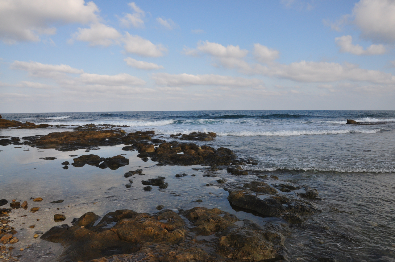
Sea at Achziv

Amitai carving watermelon
Day 1: According to tradition we began yam l’yam by touching the water. The earlier you can start the better (especially in the summer, this year the temperature in July when we did the hike was in the 90ºs). The trail goes under highway <4> by the monument to the Night of the Bridges, an operation carried out by the Haganah and Palmach on the night of June 16-17,1946 in British Mandate Palestine to destroy 11 bridges linking the country to its neighbors, Lebanon, Syria, Jordan and Egypt that the British army used as transportation routes. The operations were carried out successfully, without injuries, except for the railway bridge at Nahal Keziv which failed (14 soldiers were killed, 5 injured).
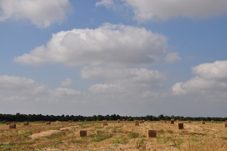
The route continues parallel to the nahal beside the fields of Kibbutz Gesher HaZiv. The kibbutz had harvested their watermelons but there were some left behind and we found a good one that Amitai carved and served. The kibbutz also had fields of sunflowers and forage crops that had been harvested and were drying in bales in the field – the scene reminded me of scenes of Tuscany.
Galilee like Tuscany
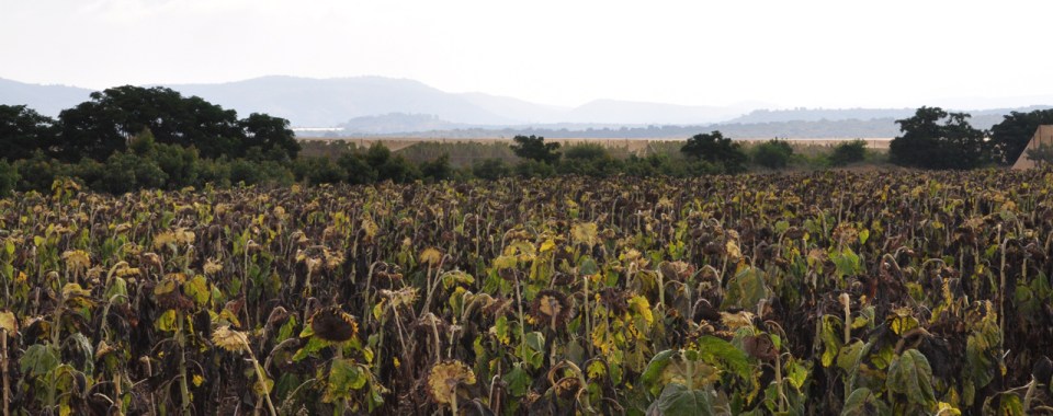
Field of sunflowers
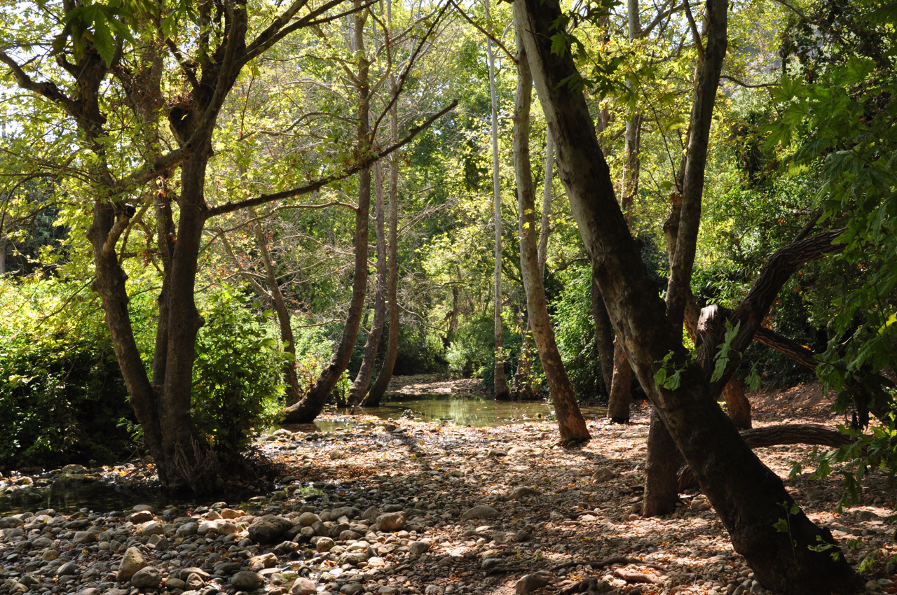
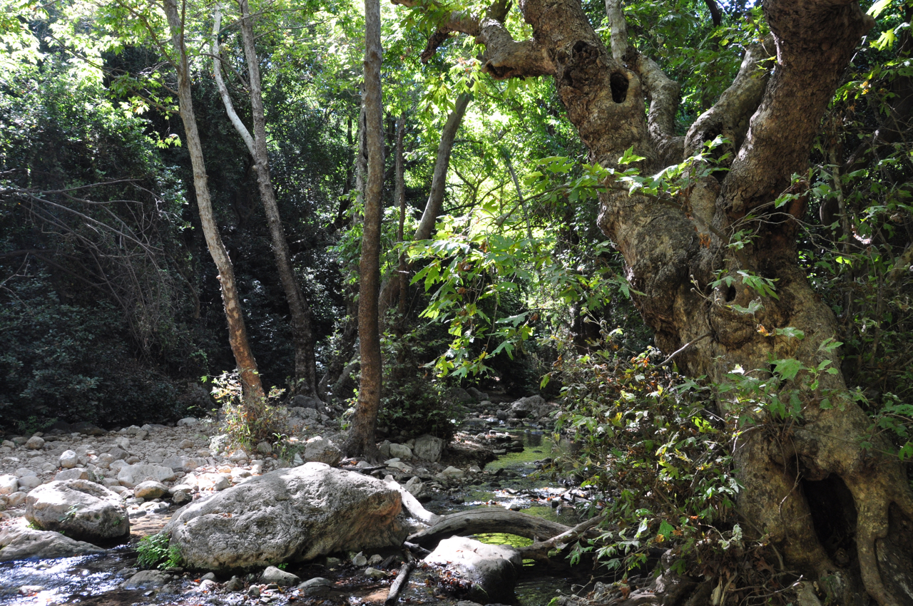
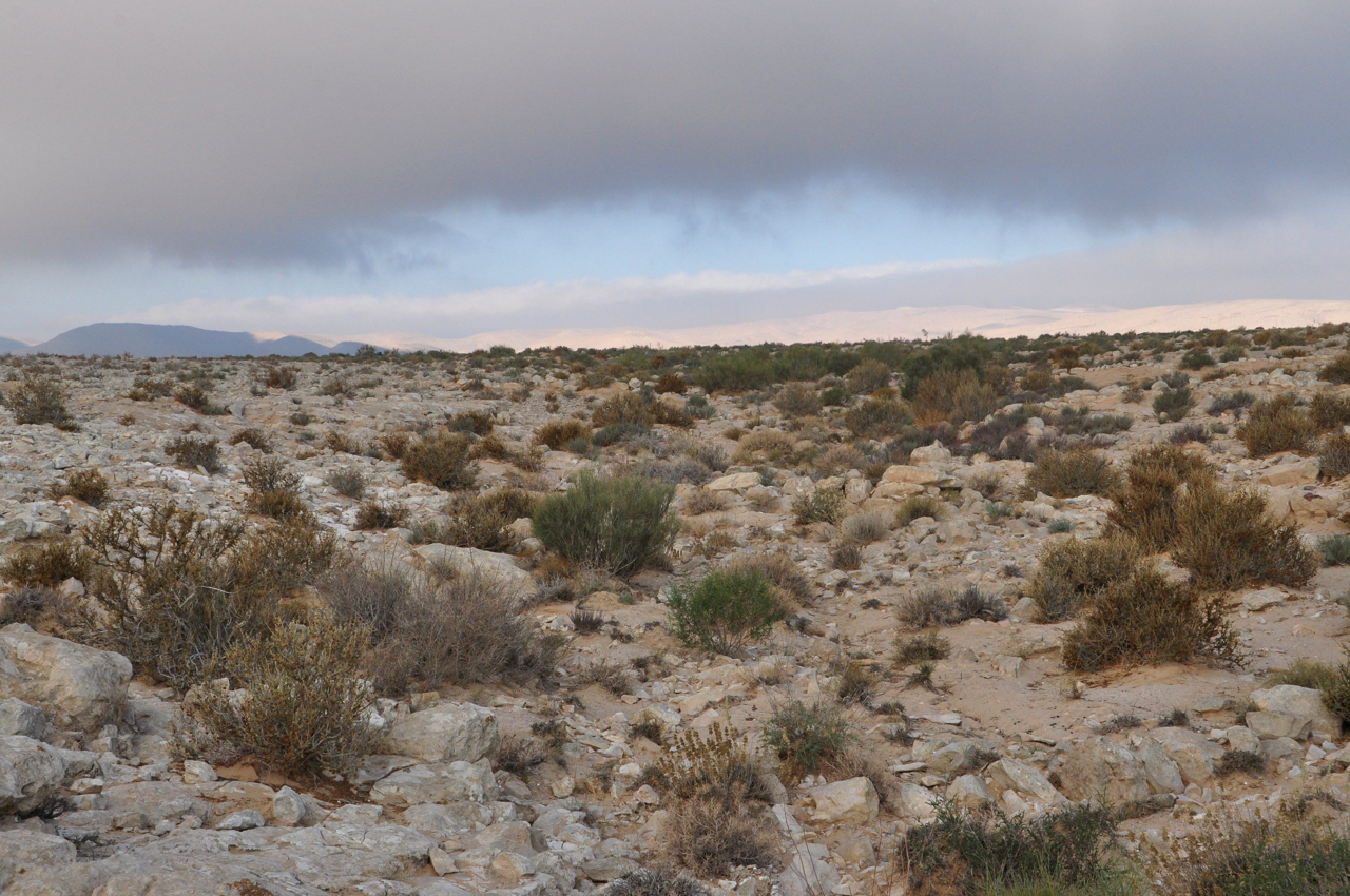
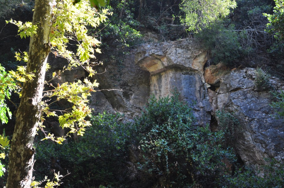
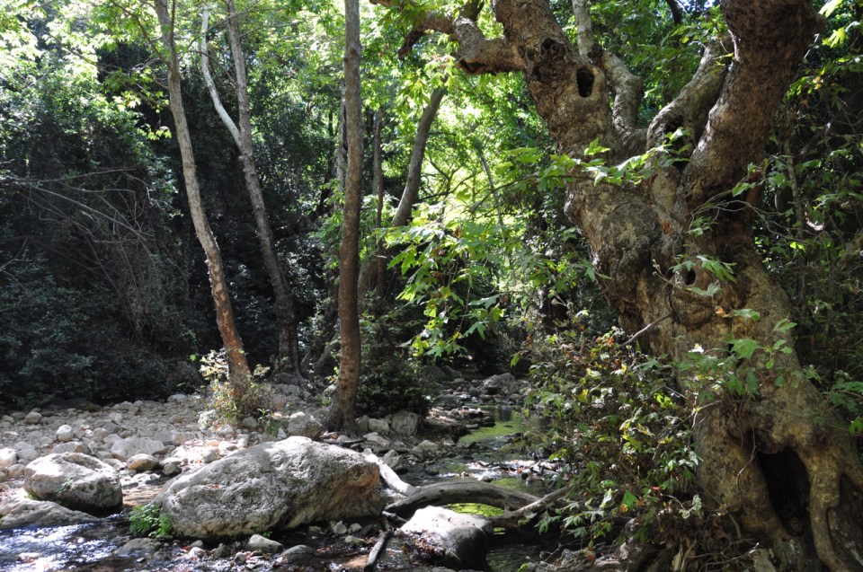
From there you pick up the green trail that runs along Nahal Keziv and follow it through dappled woods and streams.


Sumsum one tired but happy dog
If you keep your eyes open you’ll see all kinds of plants and animals.
Farther along the trail you’ll see the ruins of Montfort Castle, a Crusader fortress that was originally built as a farming estate by the French De Milly family. The name derives from the two French words mont (a mountain) and fort (strong). When the estate was sold in 1220 to the German Teutonic Knights they fortified it as their headquarters and called it accordingly Starkenberg, the same meaning in German.

Montfort Castle
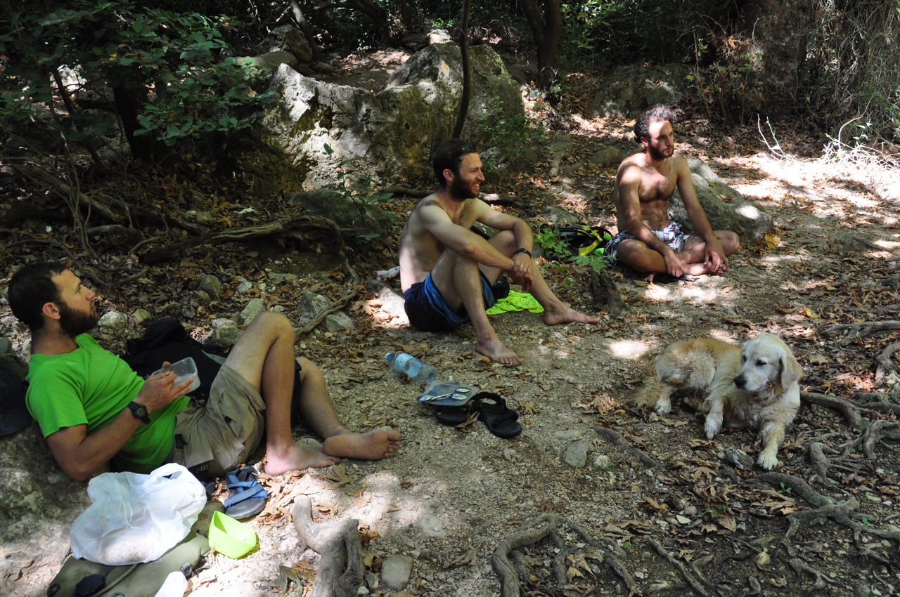
From here we reached Ein Tamir and this was where we stopped for lunch and a dip in the pool.

Everyone relaxing
 Close to the end of day 1 we reached this waterfall and after cooling down we hiked uphill to the town of Maalot-Tarshiha. The city was established in 1963 through a municipal merger of the Arab town of Tarshiha and the Jewish development town of Ma’alot. Tarshiha is believed to have been built on the site of a Canaanite settlement, Haki, dating back to the 2nd-3rd millennium BCE. Excavations of a 4th-century burial cave in the village unearthed a cross and a piece of glass engraved with a menorah.
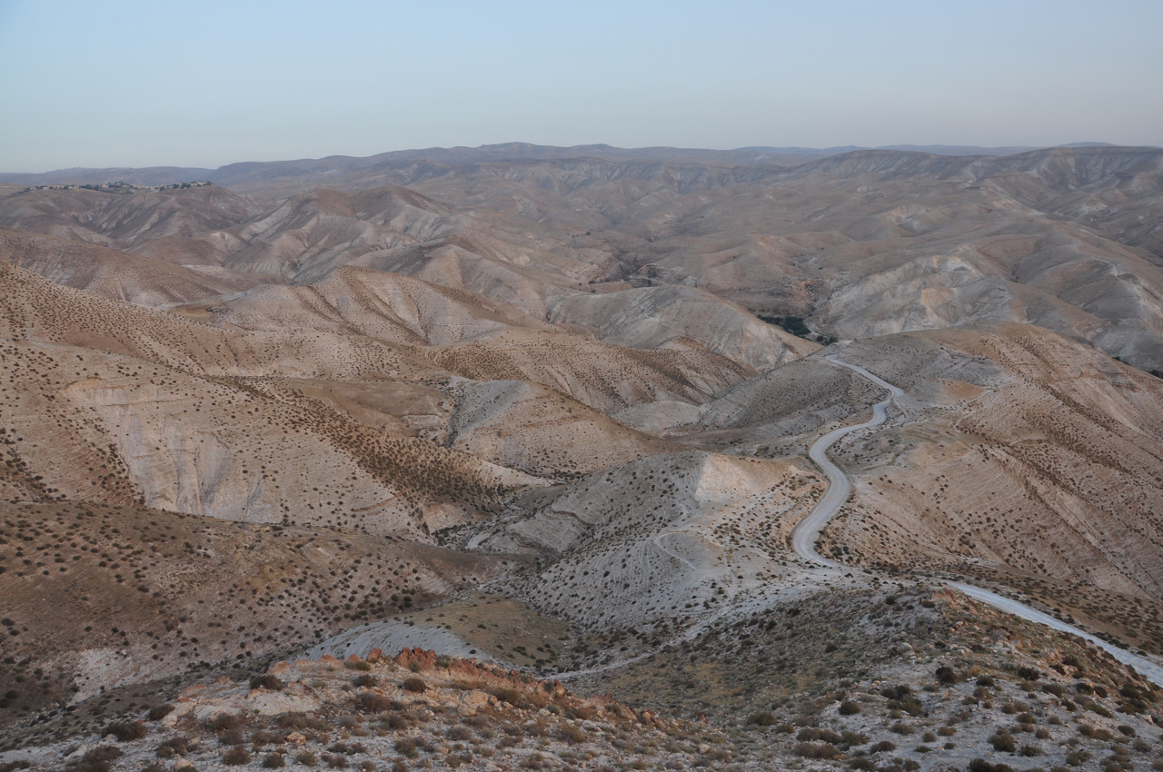
Day 2: Early morning we took a lift to the trailhead to rejoin Nahal Keziv at the intersection of highway <89> with <8944>. The challenge on day 2 is the climb up Mount Neria and over Mount Meron, the highest peak in Israel (proper) at 1208 meters above sea level (except for the Hermon that soars to 2814 meters).


Katlav, Nahal Amud
When you reach the peak of Mount Neria the view is breath-taking and these lines may come to mind.
There is much beauty in the world יש בעולם הרבה דברים יפים
Trees and flowers and people and scenery עצים ופרחים ואנשים ונופים
And if you open your eyes ומי שיש לו עיניים פקוחות
You’ll see every day רואה יום יום
A hundred incredible things, at least. מאה דברים נפלאים לפחות
Leah Goldberg לאה גולדברג
Day 3: Rejoin the trail and enter Upper Nahal Amud just past Meron. The trail is part of the Israel Trail and runs north-south to the Sea of Galilee at about 200 meters below sea level.

Pine Forest, Meron
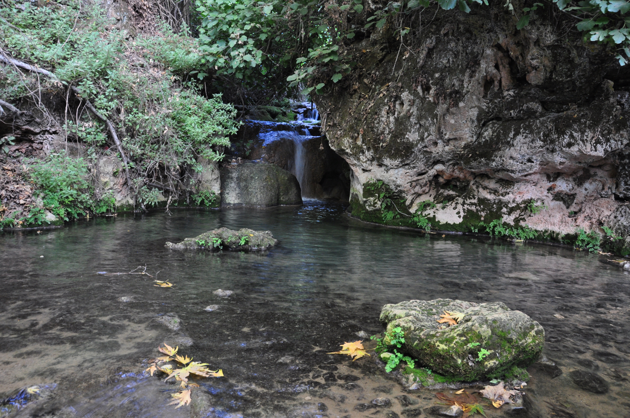
This is one of the pools where you can go in to cool off.
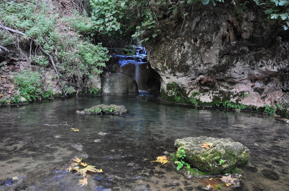
Sehvi Pool, Upper Nahal Amud
And finally the Kinneret, the Sea of Galilee. According to tradition we ended by touching the water (and then enjoying a dip).


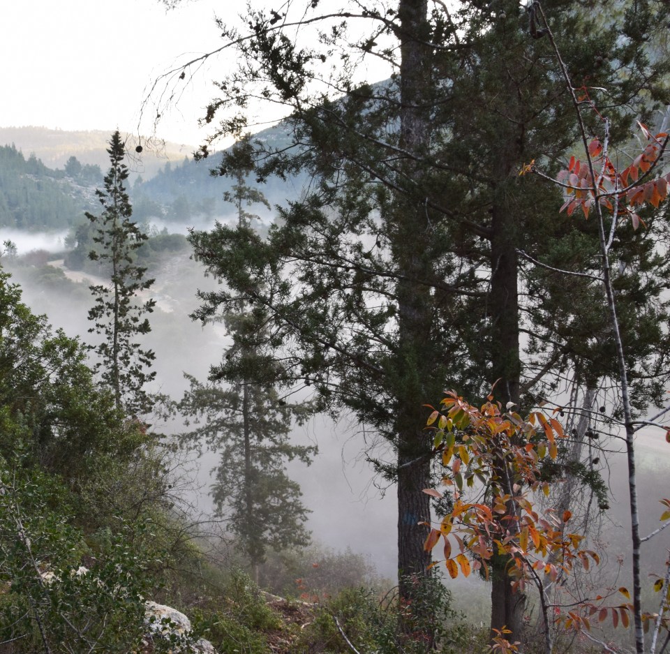
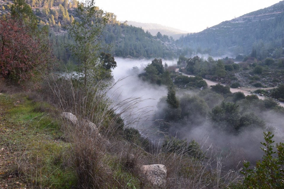
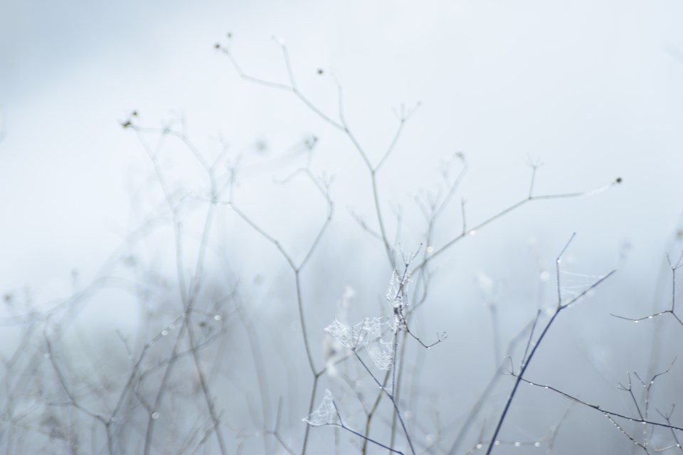
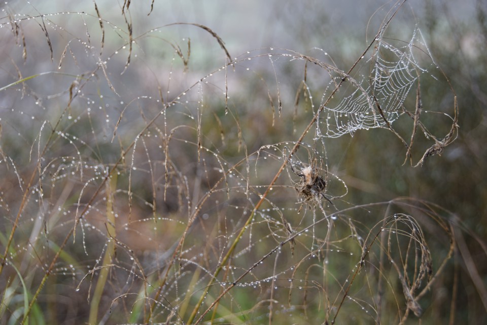
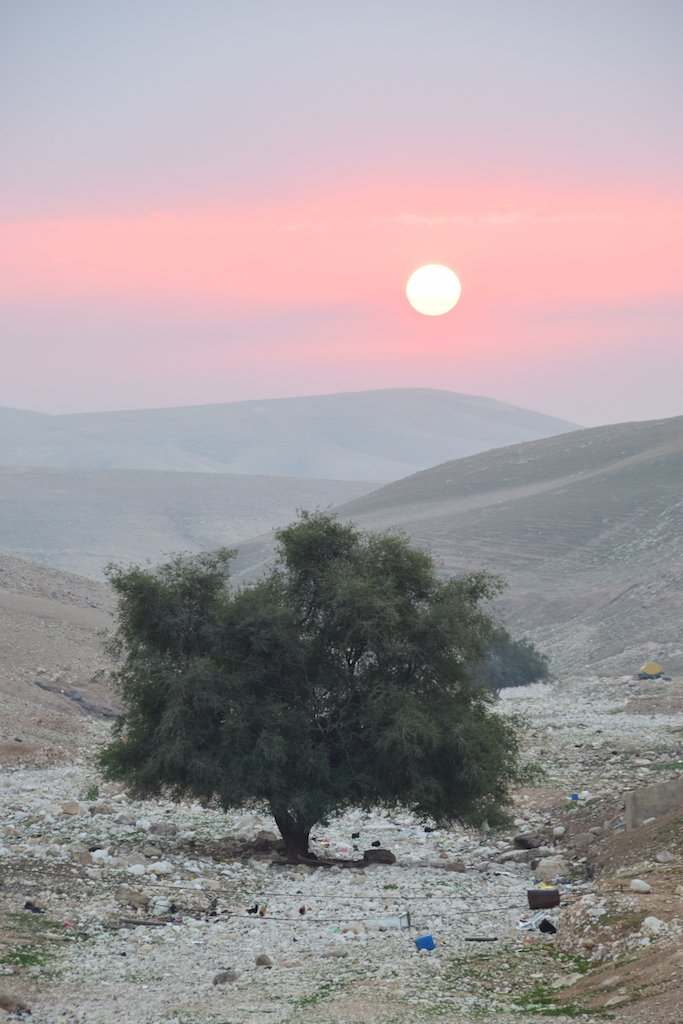
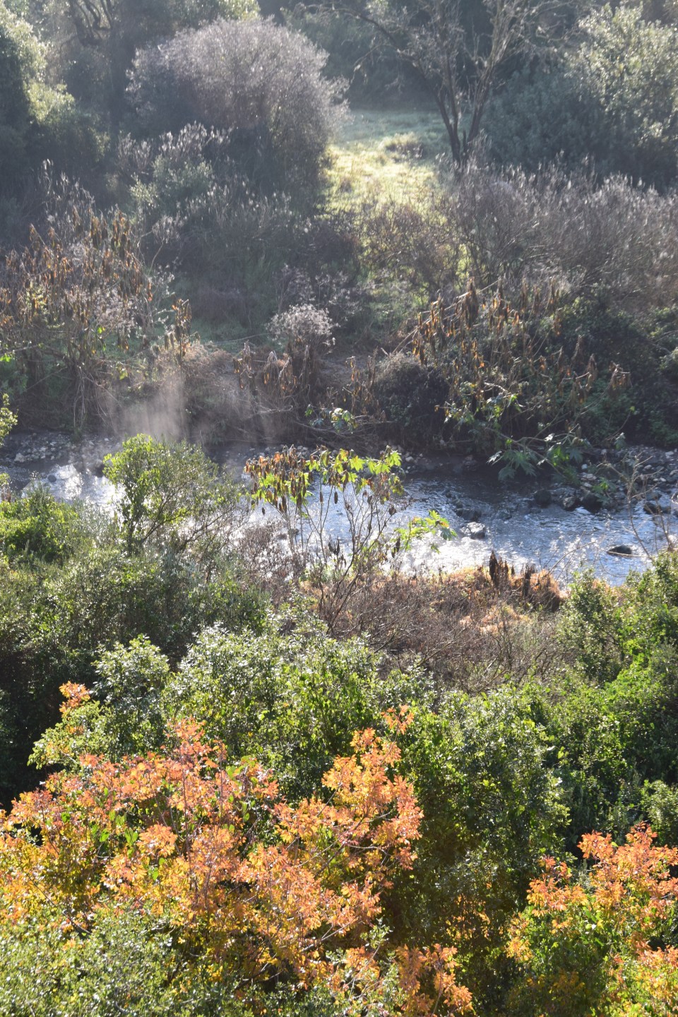 Then we descended into the valley and mist and got some nice closeups using a macro lens.