Category Archives: Photography

Hiking the Makhtesh

Even from space Makhtesh Ramon appears as a masterpiece of the spirit of the earth.
(from Space Shuttle Columbia monument)

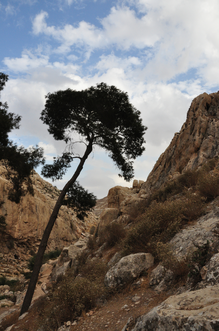
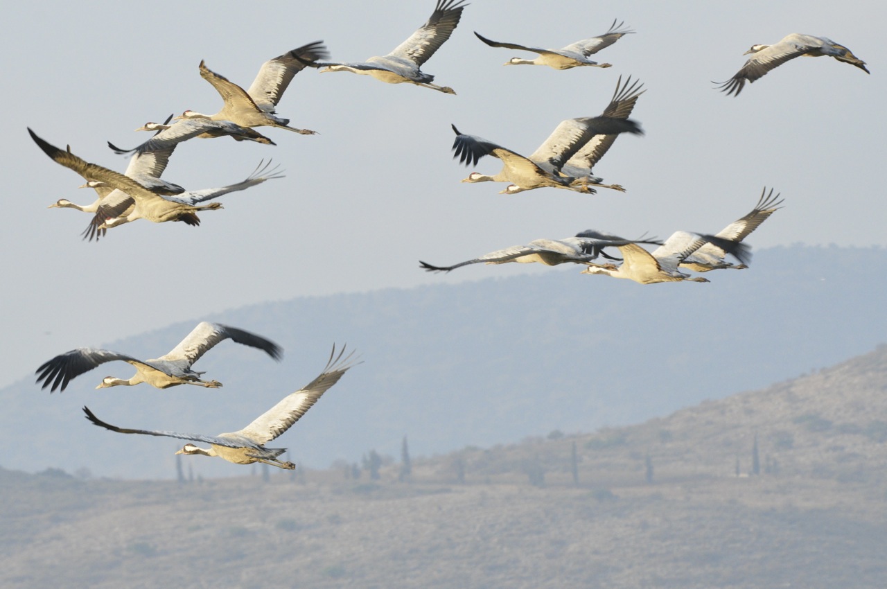
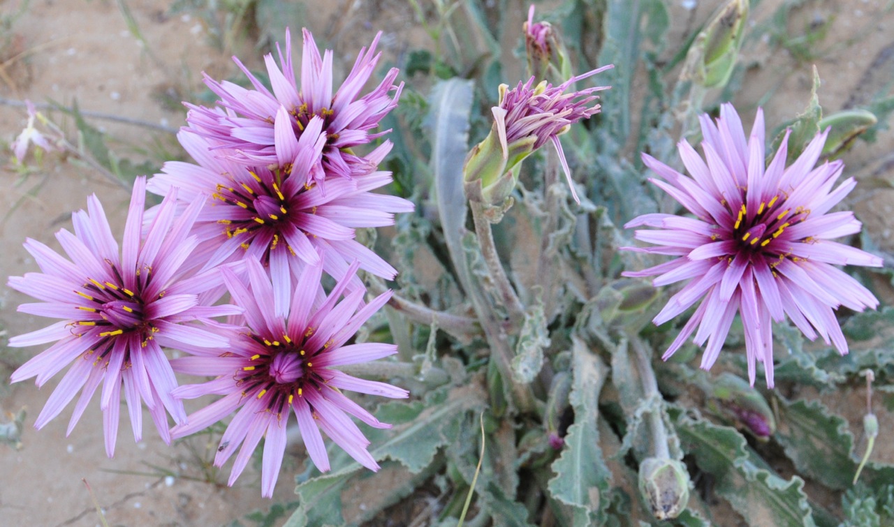
This week I did a very nice 13 km hike in the Har HaNegev reserve to Har Ramon, the highest mountain in the Negev at 1037 meters above sea level. After the winter rains we saw many plants blooming even though this area is a desert.

DSC_0286

Along the way we passed a number of tumuli, piles of rocks that are ancient tombs, and a 4.6 km stone wall running between the mountains Ramon and Romem estimated to be from the Intermediate Bronze period, more than 4000 years ago. Further along the red trail we reached a lookout on the basalt hills of Karne Ramon below, where a monument has been established to the 7-person crew of the space shuttle Columbia that disintegrated on re-entry into the Earth’s atmosphere in 2003. One of the crew was Israeli, Ilan Ramon, who had taken his surname from this area.

From Karne Ramon lookout
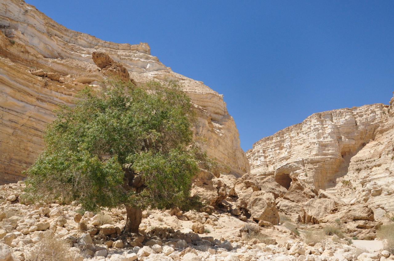
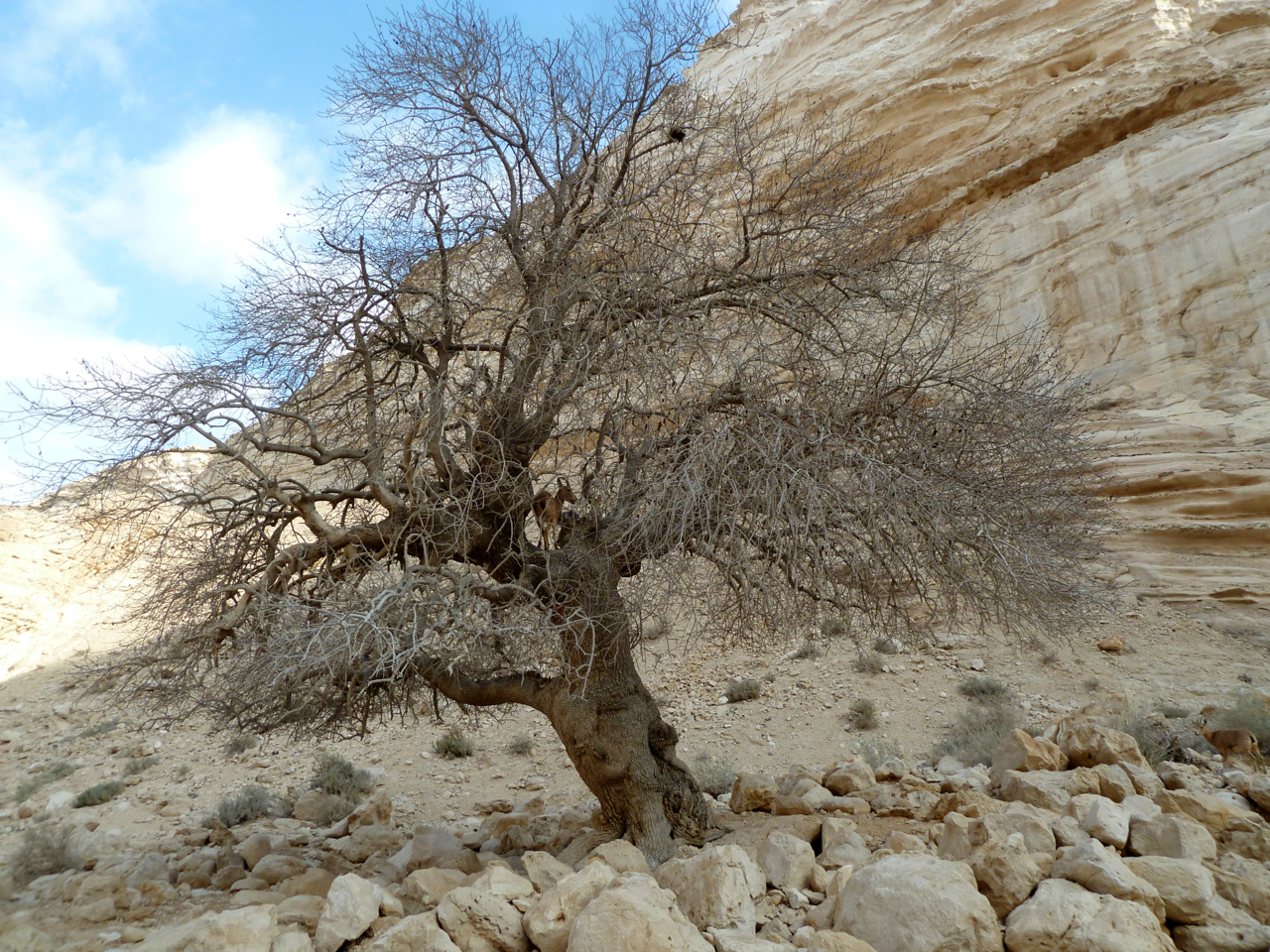
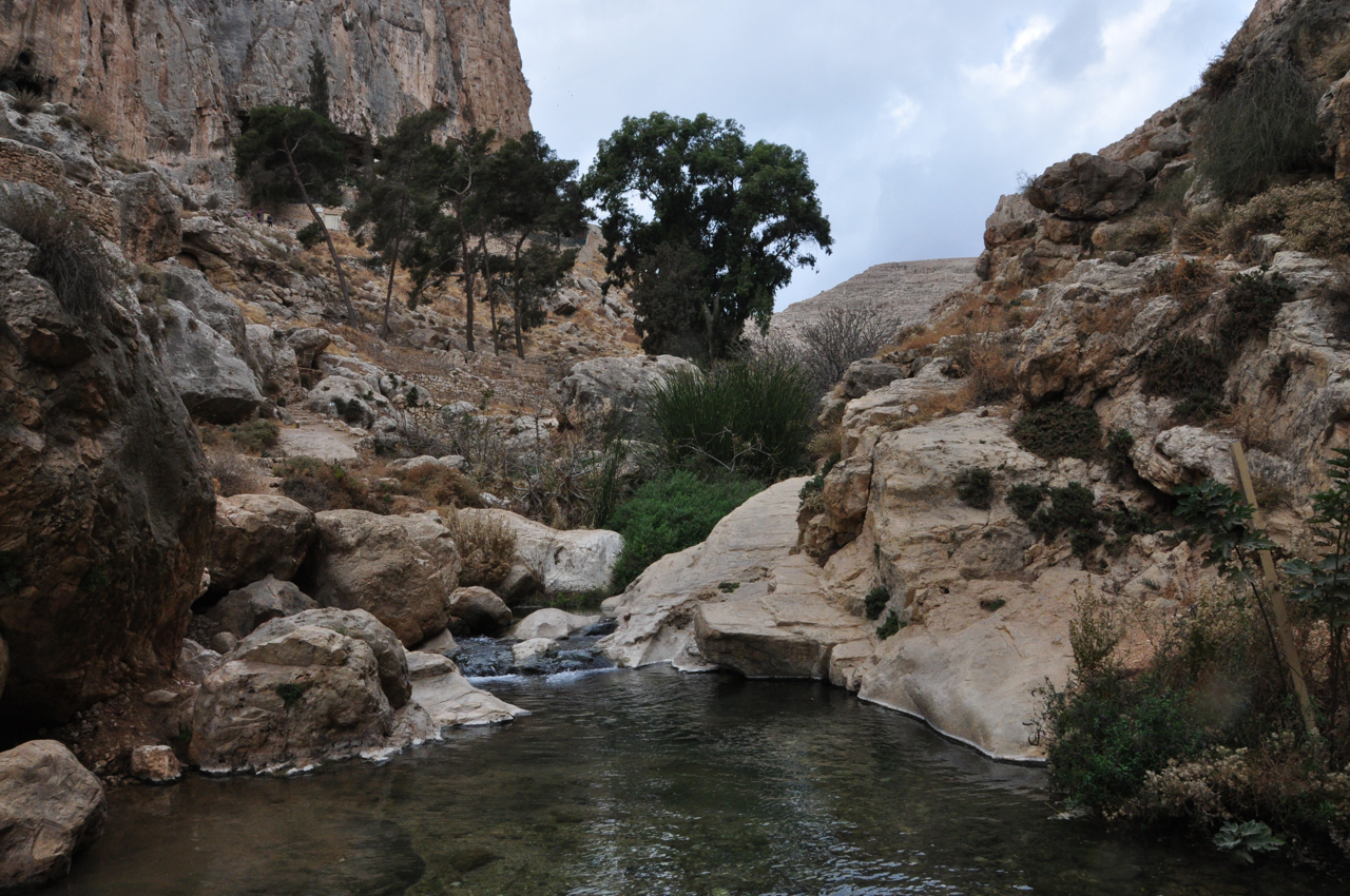
From there we descended in a winding path to Nahal Ramon at the bottom of the makhtesh. We then joined the green trail through the Canyon of Prisms and ascended the trail out of the makhtesh.

Canyon of Prisms

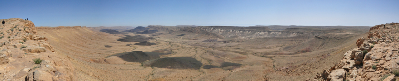
It’s hard to capture the expansiveness of this “hole” in the earth because the makhtesh is so large. The makhtesh is 40 km long, 2–10 km wide and 500 meters deep, and is shaped like an elongated heart. I took a sequence of overlapping photographs with the intention of stitching them together to try to give you an idea of the view. Click on each of these images to see it full-size.

The image below is made up of 2 photos “stitched” together.Makhtesh Panorama1This image is made up of 3 photos.Makhtesh Panorama2

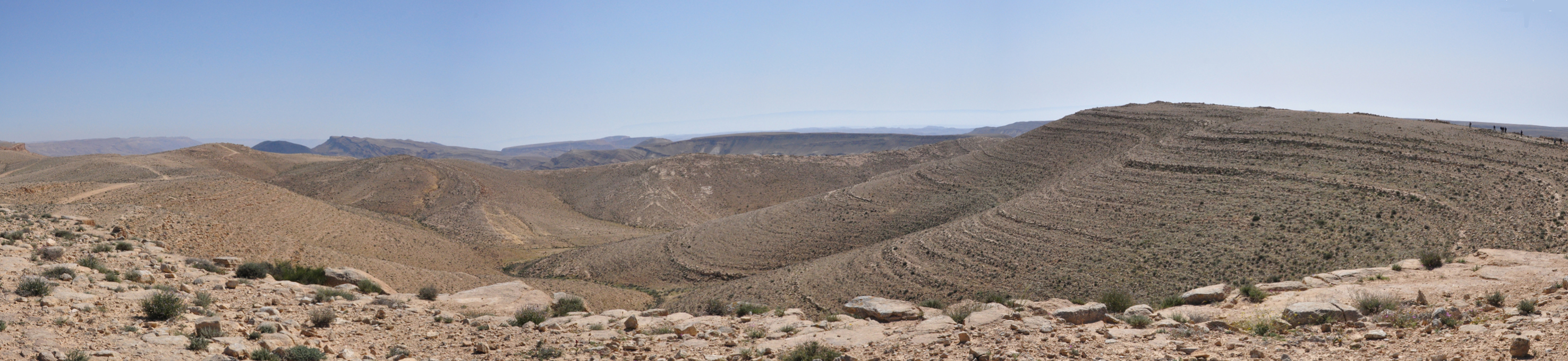
This image is made up of 4 photos, a pan of 180º, overlooking Karne Ramon at the southern end of the makhtesh.Makhtesh Panorama

Photo of the Negev

The Negev is one of the quintessential areas of Israel. When visiting you should plan some time in the Negev, which makes up 60% of Israel’s land area. Ben Gurion was the visionary that realized the importance of the Negev to Israel’s future. Near Sde Boker, the final resting place of David Ben Gurion, is Ein Avdat, a spring in a canyon. It’s high limestone walls and pools are a great place for photographs.

Terebinth Ein Avdat horz

As you enter the reserve you will notice an old (250-year-old), solitary terebinth, a Pistachia Atlantic, אלה in Hebrew, rooted in the rocky soil. This tree normally grows in colder, semi-arid zones with annual rainfall of over 300 mm – this tree is a reminder of a forest that flourished here when the climate was colder and rainier. Looking up you may see Griffon vultures that nest on the cliffs soar overhead. There are also quite a few ibex that are attracted by the water. Ibex, a kind of mountain goat, are very good climbers on the steep rocky slopes and even up in a Pistachio tree.

Ibex in a Tree

Clicking on the image will display it larger. Please share this post with your friends by clicking on the icons at the end of this message.

The technical details, shot with a Lumix point and shoot camera, ISO 80, 4.1mm, F4 at 1/200 sec.

Photographs on this website are © Shmuel Browns (unless marked otherwise) – if you are interested in purchasing one of my photos or using one of my photos for your own project please contact me.

Sunset in the Desert

The makhtesh, the Hebrew word for mortar, is the geographic term for an erosion cirque. Unique to the Negev and Sinai deserts, a makhtesh has steep walls of resistant rock (limestone and dolomite) surrounding a deep closed valley that was created when the core of softer rock (in this case colored sandstone)  was eroded and carried away by a stream bed. After a day of exploring we arrived at the colored sands in the Makhtesh HaGadol just around sunset, a perfect time for photographs. (Wish I had had my Nikon DSLR, I only had a Lumix point and shoot). Colored sand makhtesh 3 Colored sand makhtesh 2 Large Makhtesh sunset The Dead Sea, the lowest place on earth, is in the Judean desert. After a day of climbing the snake path to the top of Masada and exploring the site, we did a hike in the Ein Gedi reserve, including the Dodim cave, the Chalcolithic temple, Tel Goren and the 6th century synagogue. When we went down to the Dead Sea for a float it was just around sunset, a perfect time for photographs. Dead Sea sunset Dead Sea sunset 2

Reflection on Ein Avdat

Busy guiding. Today one of the places we visited was Ein Avdat. I’m always interested in capturing reflections of a landscape and the pool at Ein Avdat is a classic, you can see some photos here. This is a reflection at another place in the canyon.

Ein AvdatPhoto was taken with my iPhone 4.

This is my 280th blog post. Use the Categories, Tags or Search function to find other articles you might be interested in reading.

Nahal Prat or Wadi Qelt

Nahal Prat (nahal: נחל=stream bed) or Wadi Qelt (wadi: وادي‎=valley) flows from west to east across the northern Judean Desert, from near Jerusalem to Jericho, a distance of 28 km, from 770 meters above sea level to where it flows into the Jordan River at 395 m below sea level. Hiking trails follow the stream bed, which has water all year around fed by three springs, En Prat, En Mabu’a and En Qelt. My blog post about Wadi Qelt and the St. George Monastery is one of my most popular so I want to tell you about another destination in the area, the Nahal Prat nature reserve. Take highway 1 from Jerusalem towards the Dead Sea and then a left onto road 437 towards Ramallah. Turn right to the Jewish settlement of Anatot (the Levite city mentioned in Jeremiah 1:1), now called Almon (from Joshua 21:18).

Tomb ibn Taymiyya

Ruins of the Jewish Iron age village, time of Kings is at the turning, with the 13th century Arab tomb of Sheikh Ibn Taymiyya (תָקִי אל-דין אבו אל-עבאס אחמד בן עבד אל-חלים בן עבד אל סָלאם בן תימיה אל-חָרַאנִי) on the hill. Drive through Almon to the entrance of the reserve and descend the winding road to a parking lot.

Ein Prat

I took these photographs of En Prat, the valley formed by the steep limestone cliffs and the pools within the reserve.

Fallen Rocks Ein Prat

The remnants of settlements, monasteries and palaces are scattered along the stream, as are signs of stream-based cultivation. A number of aqueducts were found along the stream, the earliest of which dates to the Hasmonean period, used to channel water to the winter palaces near Jericho. These channels continued to be used through the Roman, Byzantine and early Arab periods. This enabled the growing of fruit trees like fig, pomegranate, date and citrus.

Ruins of a later water-operated flour mill can be seen on the ascent to the Faran Monastery, originally founded by the monk Haritoun in the 3rd century, believed to be the first monastery in the Judean Desert. This area, in the desert and not far from the holy city of Jerusalem, with many natural caves, springs and abandoned Second Temple period fortresses, attracted monks seeking seclusion.

Today, for the same reasons, the area is a popular recreation site to hike, picnic and swim in the natural pools.

Pine Ein Prat

Tamat Pool


Cranes at the Hula

The months of November-December are when thousands of Common Cranes stop over at the Hula Lake in northern Israel on their migratory path from Europe and Asia (the heart of the breeding population for the species is in Russia) to its wintering sites in northern Africa, the river valleys of Sudan, Ethiopia, Tunisia and Eritrea. The best place to see and photograph them in Israel is the Agamon HaHula reserve and I can take you there. If you are interested in getting photographs you will need a fast SLR camera with a large lens (I’d recommend a zoom that goes up to 500mm).

Cranes lift off

Check the Agamon Hula page on Facebook for the most recent figures – they counted more than 35,000 cranes at the park on a typical day. The cranes spend the night in the lake (for protection) and at sunrise when they awaken fly off to forage for food. It is an incredible sight to see thousands of cranes take to the sky.

Cranes taking off

Lone craneThe Common Crane (Grus grus, also known as the Eurasian Crane) is mainly slate-gray, with black on the forehead and lores with a red cap on the top of the head and white stretching from behind the eyes to the upper back.

Cranes at Hula

Cranes in flight