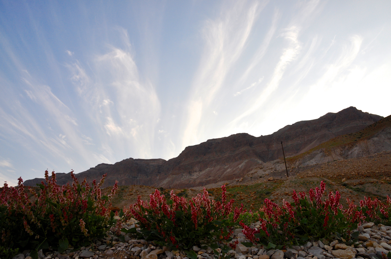
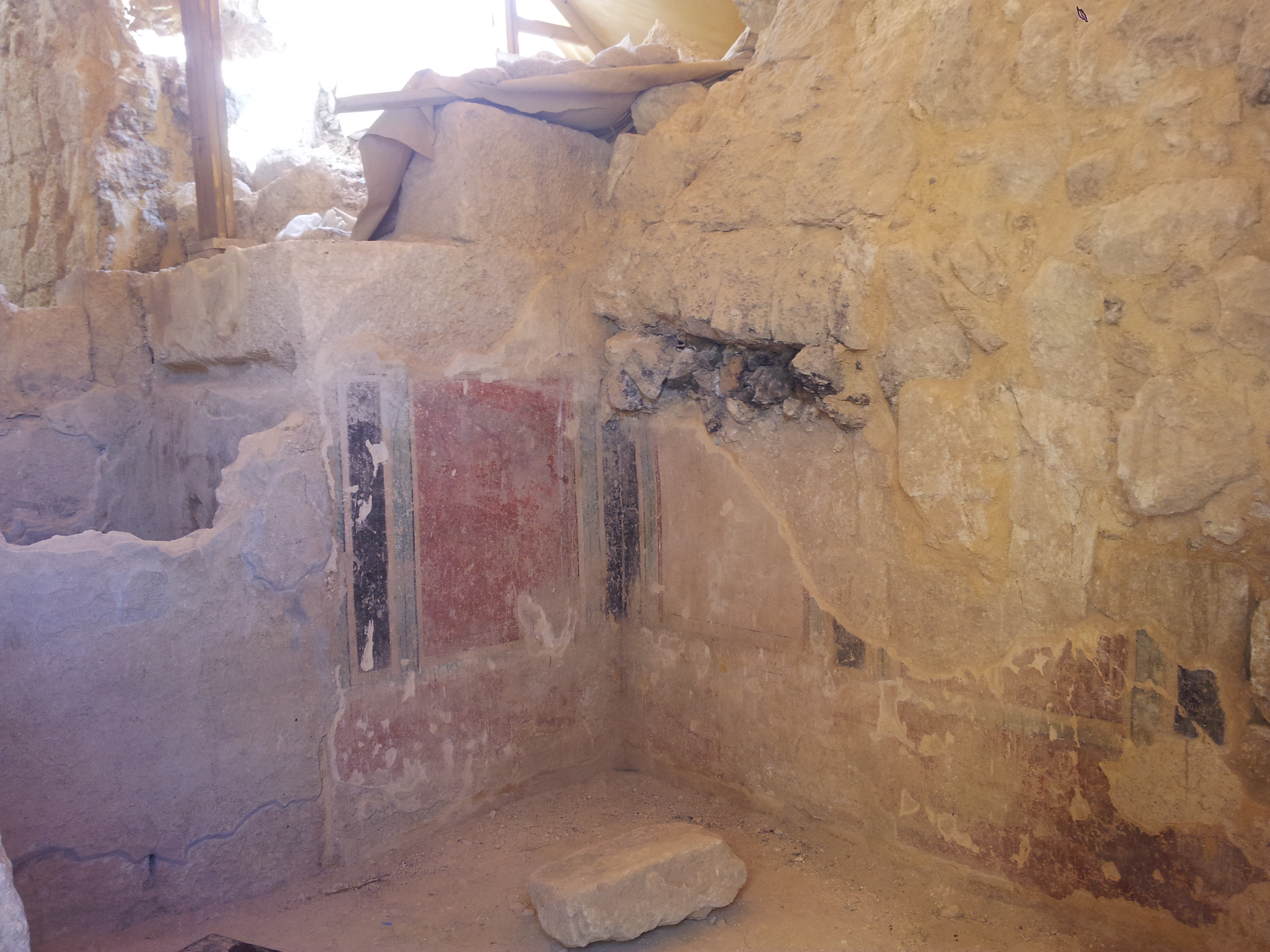
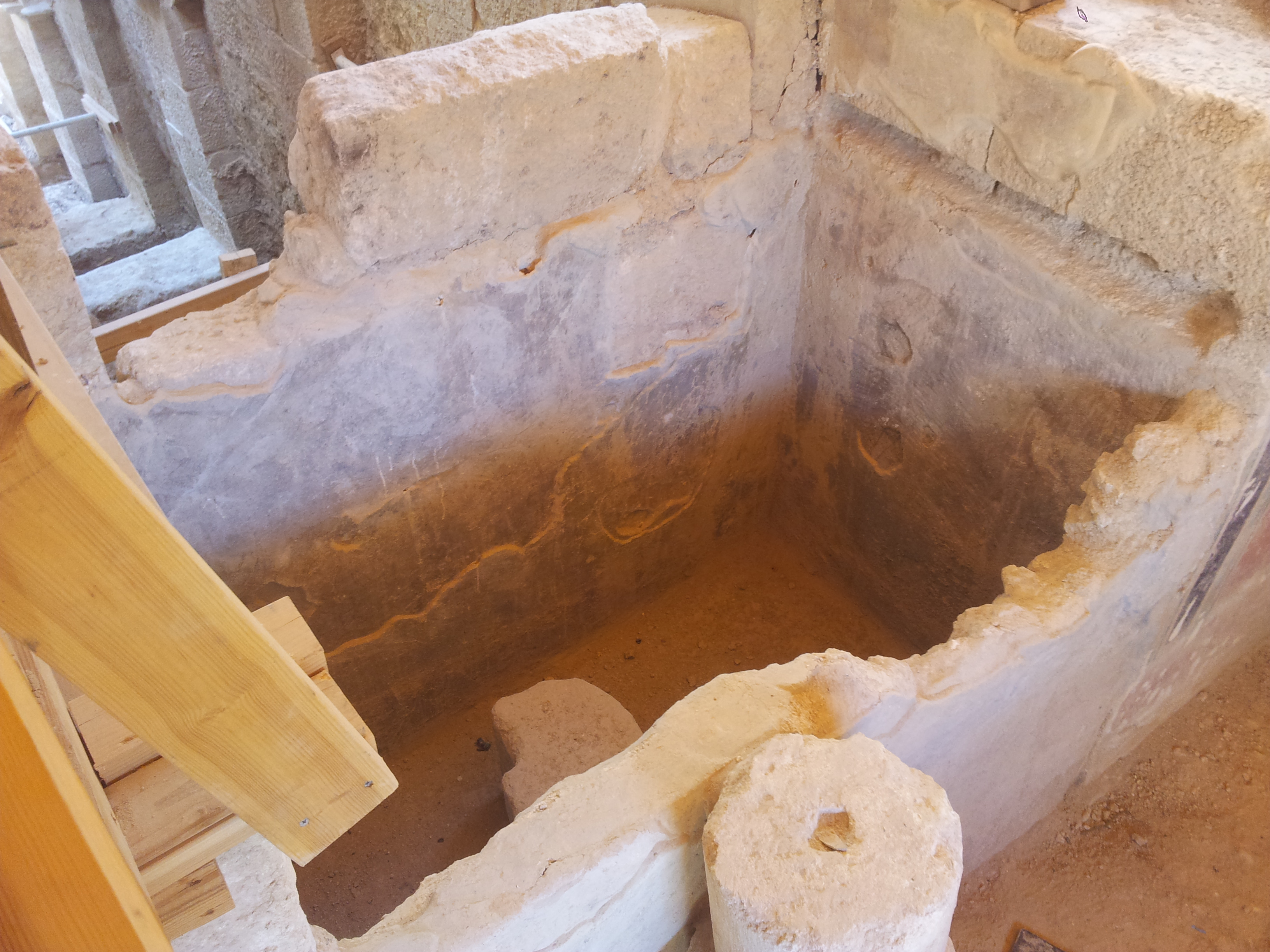
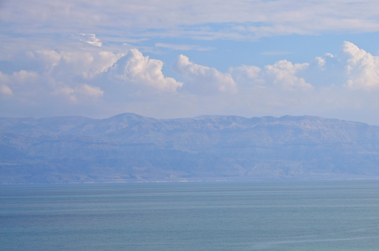
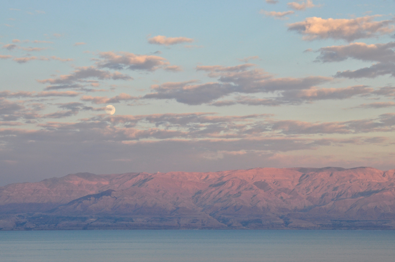
There are deserts in Israel and exploring them with a guide is a special experience. If you’re interested in photography, you will get some great photo opportunities. In the Negev I’d recommend the Large Makhtesh and the Small Makhtesh, unique geological forms and farther south the mountains around Eilat. For an area close to Jerusalem the area to explore is the Judean desert. This morning we headed out at 5am to reach an overlook of Wadi Qelt in time for sunrise – first photo was taken 6:23am. Here are some of my photos.
The technical details, these photos were shot with a Nikon D90 DSLR camera with a 18-200mm Nikon zoom lens.

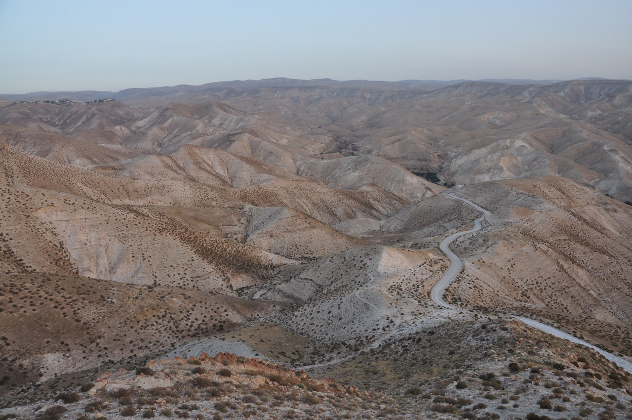
Overlook of Wadi Qelt ISO 250 18mm f/8 1/60 sec.

Overlook of Wadi Qelt ISO 250 42mm f/8 1/60 sec.
Please share this post with your friends by clicking on the icons at the end of this message.
Photographs on this website are © Shmuel Browns (unless marked otherwise) – if you are interested in purchasing one of my photos or using one of my photos for your own project please contact me.