Category Archives: Nature

Photo of the Week – Red Canyon

The Negev is a desert and semidesert region in the southern part of Israel, an inverted triangle with the Gulf of Aqaba and the resort city of Eilat at the bottom tip. The area north of Eilat is great for hiking and photography and one of my favorite places is this small, slot canyon just off highway 12.

Red Canyon

The technical details – the photo was taken with a Nikon D90 digital SLR camera in March 2010 (ISO 220, 18mm, F5.6 at 1/250 sec).

Please share this post with your friends by clicking on the icons at the end of this message.

Photographs on this website are © Shmuel Browns (unless marked otherwise) – if you are interested in buying or using one of my photos for your own project please contact me.

Photo of the Week – Poppies in Emeq HaEla

In January it was kalaniot (red anemones) in bloom, now in April it’s poppies. I am always happy to take you exploring nature sites in Israel. This photo was taken in Emeq HaEla.

Poppies Emeq HaEla

The technical details – the photo was taken with a Nikon digital SLR camera in the afternoon (ISO 200, 35mm, F10 at 1/250 sec). Clicking on the image will display it larger.

Please share this post with your friends by clicking on the icons at the end of this message.

Photographs on this website are © Shmuel Browns (unless marked otherwise) – if you are interested in buying or using one of my photos for your own project please contact me.

Photo of the Week – Sinkholes at Dead Sea

I was guiding yesterday at Masada and Ein Gedi and talked about the changes in the levels of the Dead Sea and the occurrence of sinkholes along the shoreline. We stopped to take a look at some sinkholes closeup and I took these two photographs of a blue sinkhole and a photo of salt patterns at the edge of the sea. The Dead Sea is a unique location and it is fascinating to photograph there. You can also see another post of sinkhole photos here.

Blue sinkholeSalt patternsSinkhole

The technical details – the photos were taken with a Nikon 5300 digital SLR camera yesterday early afternoon (first photo at  ISO 360, 18mm, F11 at 1/500 sec). Clicking on the image will display it larger.

Please share this post with your friends by clicking on the icons at the end of this message.

Photographs on this website are © Shmuel Browns (unless marked otherwise) – if you are interested in buying or using one of my photos for your own project please contact me.

Photo of the Week – Judean Desert

Among deserts, the Judean desert is considered relatively small, spanning only 1,500 square kilometers, but it includes many fascinating nature reserves, historic sites and monasteries that make it an interesting and unique place to visit. An area bordered by cliffs on both sides it is a desert with running water and in one place geothermal springs. If you are into photography its primeval panoramas make it a special place to photograph. As your guide I’ll take you there to explore.

DSC_0536

The technical details – this photo was taken in the afternoon with my Nikon D90 digital SLR camera in February 2013 (ISO 200, 52mm, F11 at 1/400 sec). Clicking on the image will display it larger.

Please share this post with your friends by clicking on the icons at the end of this message.

Photographs on this website are © Shmuel Browns (unless marked otherwise) – if you are interested in buying or using one of my photos for your own project please contact me.

Jerusalem Park: Lifta

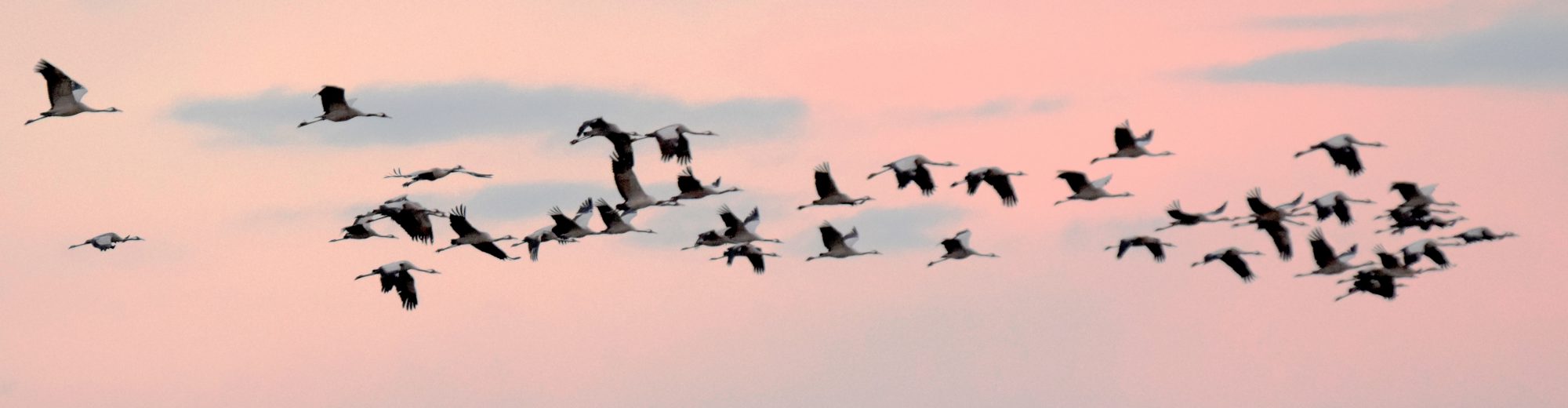
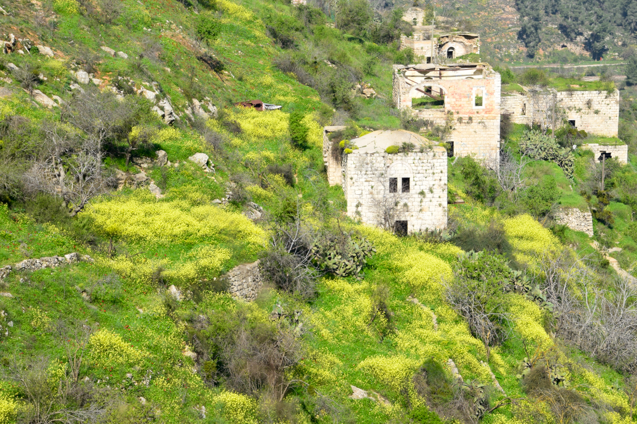
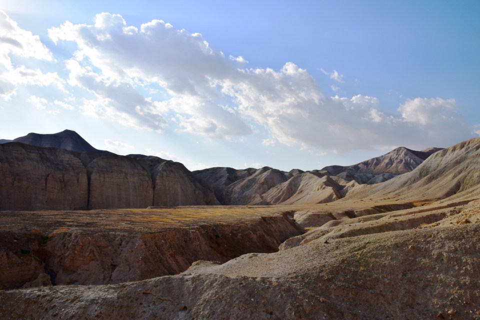
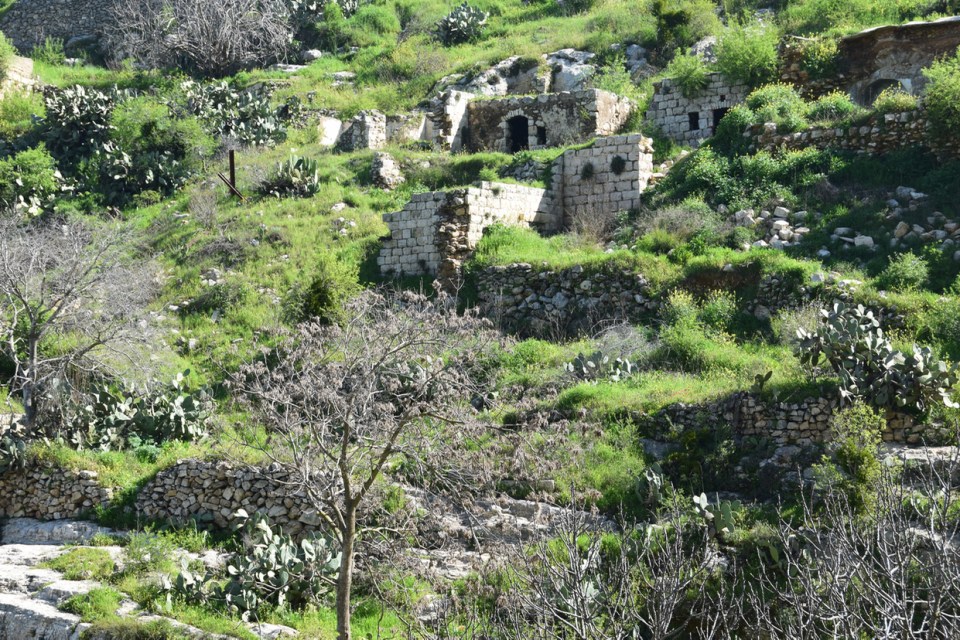
This week we went to Lifta, a ghost town that was an Arab village on the side of a steep hill at the western entrance to Jerusalem. The site has been populated since ancient times because of a natural spring located there. In the Bible, the village is mentioned as Nephtoah (נפתח), on the border between the Israelite tribes of Judah and Benjamin.

Lifta

In the last official land and population survey In 1945 Lifta’s population was 2,250, all Arabs, and the total land area was 8,743 dunams. The farmers of Lifta marketed their produce in Jerusalem’s markets. The population was driven out/fled during the Arab-Jewish hostilities of 1947/48 during the efforts by the Haganah to relieve the siege of Jerusalem. Today 55 of the original (more than 400) stone houses are still standing but the village has never been repopulated.


Lifta 2

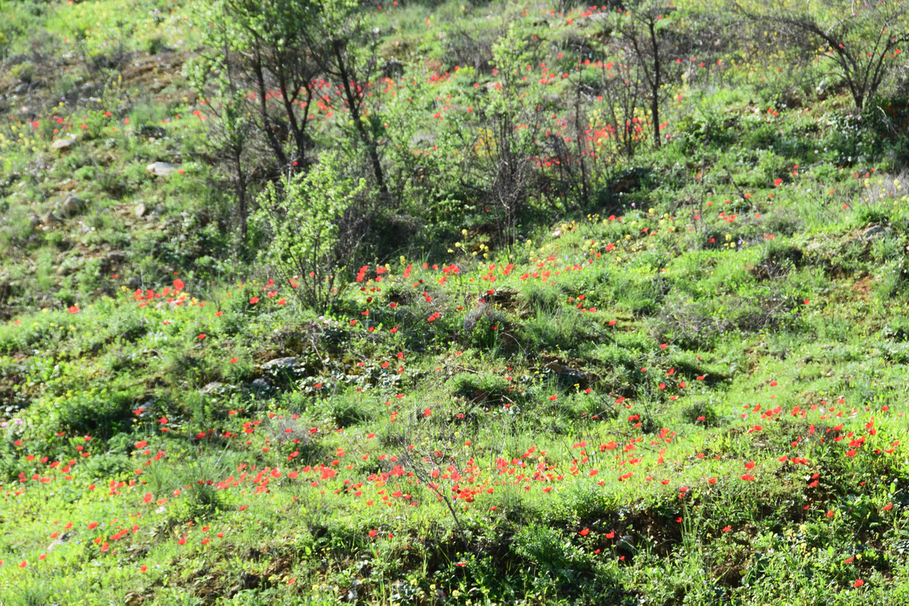
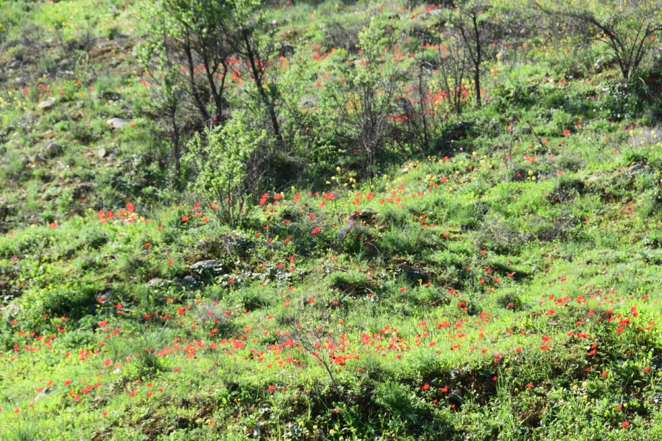
Lifta is on the edge of the newly developed Jerusalem Park, made up of 4 parks, a greenbelt that extends over some 1,500 hectares (3700 acres), surrounding Jerusalem to the north, west, and south. This is a great place for visitors and Jerusalem residents to explore, with walking trails and bicycle paths. You can get a map of the park at Emeq HaArazim, just below Lifta at http://www.jerusalempark.org.il/download/files/park-arazim-hires.pdf.


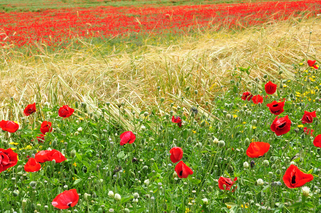
The plan is to maintain existing woods and forests including ancient cedar, arazim for which the park is named, and olive groves and to restore and plant orchards and indigenous broad-leafed tree species.

Anemones at Lifta

Further inside the park at Einot Telem, the ancient terrace agriculture typical of the area with its irrigation system will be recreated at the site of a small Jewish settlement – Bet Talma. The land (60 acres, 23 hectares) was purchased in 1906 and a two-story building intended for a soap and oil factory was planned (but not completed). In 1922 five Jewish families settled at Einot Telem, naming their settlement Emek HaArazim (the Valley of the Cedars). The site was abandoned during the 1929 Arab Riots and further settlement attempts were unsuccessful.

Photographs from Nahal Og

Nahal Og is the northern-most stream bed that empties into the Dead Sea. It carries water 30 km from the eastern slope of the Mount of Olives, draining a vast area of 112 sq km. It gets its name og from the Hebrew word for the sumac tree (Rhus Tripartite). The fruit of the sumac you find mixed with hyssop and sesame in za’atar. You cross Nahal Og on highway just before the cutoff to Nebi Musa. Another entry point is closer to the Dead Sea, near Kibbutz Almog. These two photographs were taken at the entrance to the nahal, the first one on December 15th in the afternoon and the second January 29th at noon, the time and day giving different expression to the same scene.

DSC_0555 (1)

DSC_0094

We hiked Nahal Og on Friday, a great outing from Jerusalem before Shabbat. I took these photos, showing some of the rock formations in the canyon and up along the ridge at the end of the loop trail to capture the solidity of rock and form in this part of the Judean desert. Shabbat shalom.