Author Archives: Shmuel Browns

Unknown's avatar

About Shmuel Browns

I am a tour guide, licensed by the Israel Ministry of Tourism. I do tours throughout Israel, personalized to your interests, time and budget.

Photo of the Week – Solomon’s Pillars

In my most recent post about the exhibit at the Israel Museum I mentioned the Egyptian goddess Hathor which Canaanite worker-miners identified with their Ba’alat. Timna is a popular place north of Eilat for hiking. As your guide, I can show you a shrine to Hathor and an engraving of the Pharaoh Ramses III that was found, 1st half of 12th Century BCE.

This week’s photo is of Solomon’s Pillars, tall sandstone rock formations at Timna, one of the places in Israel where ancient Egyptian artifacts were found.

Solomon's Pillars 2

The technical details – this photo was taken late afternoon with a Nikon D90 digital SLR camera in February 2010 (ISO 220, 25mm, F10 at 1/250 sec). Clicking on the image will display it larger.

Please share this post with your friends by clicking on the icons at the end of this message.

Photographs on this website are © Shmuel Browns (unless marked otherwise) – if you are interested in buying or using one of my photos for your own project please contact me.

Pharaoh in Canaan Exhibit

PCThe Israel Museum has put together a new exhibit (up until October 25th) about two lesser known stories: settlement of the Canaanites in the eastern part of the Egyptian Delta during the Middle Bronze Age (circa 1800–1550 BCE) and their development of the first consonantal alphabet from Egyptian hieroglyphics and consequently, Egyptian rule over Canaan for 350 years during the Late Bronze Age (circa 1500–1150 BCE). Canaanite, Semitic-speaking workers in Egypt modified hieroglyphics, where one symbol represents a word (this is similar to the Chinese writing system which has always intrigued me) into Proto-Sinaitic, also known as Proto-Canaanite as it spread from Sinai to Canaan. The text above is in this script and says פרעה בכנען/Pharaoh in Canaan (from right to left like the Hebrew, note the ר/resh is a drawing of a head/rosh, ע/ayin word for eye is an eye, נ/nun is a snake/nahash). This historical chapter overlaps with the familiar biblical narratives of Joseph, the children of Israel and Moses in Egypt.

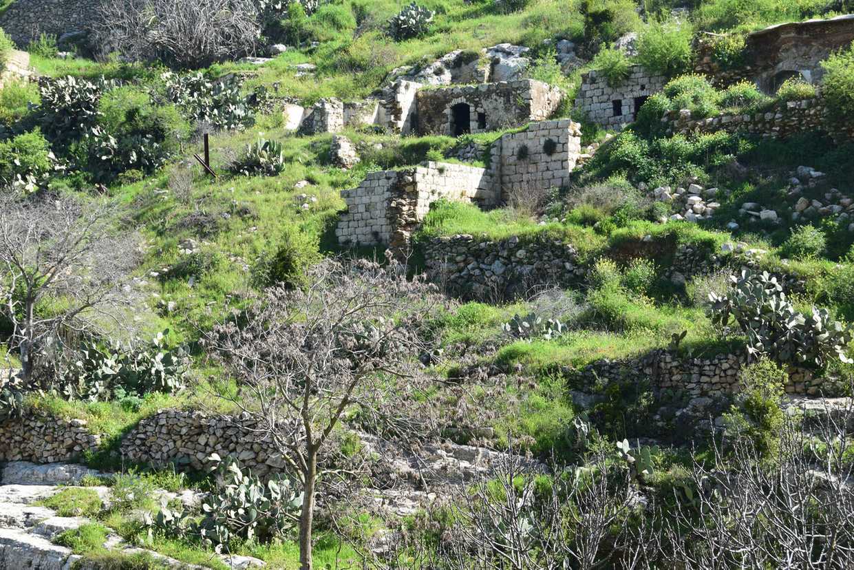
The exhibit displays 680 artifacts mostly discovered in Israel, with some objects borrowed from other museums. Objects were found at Bet Shean, Jaffa, Timna and Hazor, popular sites to visit but not usually for Egyptology.

DSC_0552
Quartzite sphinx of Thustmose III, 1480-1425 BCE

King Amenhotep IV/Akhenaton, 1353–1336 BCE, Yellow stone

DSC_0556
Inscription in hieroglyphics from gate of Egyptain stronghold, Jaffa,
from time of Ramses II (considered by some the Pharaoh of the Exodus), 1279–1213 BCE

DSC_0559
Offering table from Egypt, limestone with hieroglyphics with name of Ramses II

DSC_0551
Ramses III, only life-size statue of a pharaoh made and found in Israel, in Bet Shean, 12th century BCE, Basalt

Photograph on left: Dan Kirzner, courtesy of the Israel Antiquities Authority.

A 3300 year old anthropoid sarcophagus was exposed containing the personal belongings of a wealthy Canaanite (possibly an Egyptian Army official) at Tel Shadud, Jezreel valley, 13th century BCE

IMG_2662
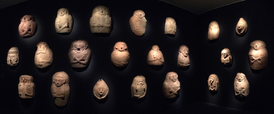
Lids of anthropoid sarcophagi, Deir al-Balah, Gaza, 13th century BCE

Hathor mask
Photo © Eretz Israel Museum Tel Aviv, by Leonid Padrul-Kwitkowski
Mask of Hathor, Solomon’s Pillars at Timna, 13-12 century BCE, Faience

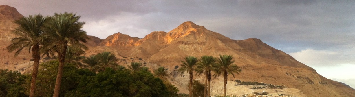
A major temple to Hathor, the Egyptian patron goddess to miners, constructed by Seti I was found at the copper mines in Timna valley. Of all the deities in the Egyptian pantheon, Hathor made the greatest impression on the Canaanites.

Another temple with inscriptions was discovered in Serabit el-Khadim in Egypt, where turquoise was mined in antiquity, in an expedition led by British archaeologist and Egyptologist Sir Flinders Petrie. If you’re interested in visiting his grave, Petrie is buried in the Protestant cemetery on Mount Zion in Jerusalem.

For those who are unable to visit the Pharaoh in Canaan exhibit at the museum, there is an excellent audio-visual tour available at http://www.imj.org.il/en/audioguides/pharoah/. Enjoy!

Photo of the Week – Poppies in Emeq HaEla

In January it was kalaniot (red anemones) in bloom, now in April it’s poppies. I am always happy to take you exploring nature sites in Israel. This photo was taken in Emeq HaEla.

Poppies Emeq HaEla

The technical details – the photo was taken with a Nikon digital SLR camera in the afternoon (ISO 200, 35mm, F10 at 1/250 sec). Clicking on the image will display it larger.

Please share this post with your friends by clicking on the icons at the end of this message.

Photographs on this website are © Shmuel Browns (unless marked otherwise) – if you are interested in buying or using one of my photos for your own project please contact me.

Photo of the Week – Sinkholes at Dead Sea

I was guiding yesterday at Masada and Ein Gedi and talked about the changes in the levels of the Dead Sea and the occurrence of sinkholes along the shoreline. We stopped to take a look at some sinkholes closeup and I took these two photographs of a blue sinkhole and a photo of salt patterns at the edge of the sea. The Dead Sea is a unique location and it is fascinating to photograph there. You can also see another post of sinkhole photos here.

Blue sinkholeSalt patternsSinkhole

The technical details – the photos were taken with a Nikon 5300 digital SLR camera yesterday early afternoon (first photo at  ISO 360, 18mm, F11 at 1/500 sec). Clicking on the image will display it larger.

Please share this post with your friends by clicking on the icons at the end of this message.

Photographs on this website are © Shmuel Browns (unless marked otherwise) – if you are interested in buying or using one of my photos for your own project please contact me.

Photo of the Week – Judean Desert

Among deserts, the Judean desert is considered relatively small, spanning only 1,500 square kilometers, but it includes many fascinating nature reserves, historic sites and monasteries that make it an interesting and unique place to visit. An area bordered by cliffs on both sides it is a desert with running water and in one place geothermal springs. If you are into photography its primeval panoramas make it a special place to photograph. As your guide I’ll take you there to explore.

DSC_0536

The technical details – this photo was taken in the afternoon with my Nikon D90 digital SLR camera in February 2013 (ISO 200, 52mm, F11 at 1/400 sec). Clicking on the image will display it larger.

Please share this post with your friends by clicking on the icons at the end of this message.

Photographs on this website are © Shmuel Browns (unless marked otherwise) – if you are interested in buying or using one of my photos for your own project please contact me.

Jerusalem Park: Lifta

This week we went to Lifta, a ghost town that was an Arab village on the side of a steep hill at the western entrance to Jerusalem. The site has been populated since ancient times because of a natural spring located there. In the Bible, the village is mentioned as Nephtoah (נפתח), on the border between the Israelite tribes of Judah and Benjamin.

Lifta

In the last official land and population survey In 1945 Lifta’s population was 2,250, all Arabs, and the total land area was 8,743 dunams. The farmers of Lifta marketed their produce in Jerusalem’s markets. The population was driven out/fled during the Arab-Jewish hostilities of 1947/48 during the efforts by the Haganah to relieve the siege of Jerusalem. Today 55 of the original (more than 400) stone houses are still standing but the village has never been repopulated.


Lifta 2

Lifta is on the edge of the newly developed Jerusalem Park, made up of 4 parks, a greenbelt that extends over some 1,500 hectares (3700 acres), surrounding Jerusalem to the north, west, and south. This is a great place for visitors and Jerusalem residents to explore, with walking trails and bicycle paths. You can get a map of the park at Emeq HaArazim, just below Lifta at http://www.jerusalempark.org.il/download/files/park-arazim-hires.pdf.


The plan is to maintain existing woods and forests including ancient cedar, arazim for which the park is named, and olive groves and to restore and plant orchards and indigenous broad-leafed tree species.

Anemones at Lifta

Further inside the park at Einot Telem, the ancient terrace agriculture typical of the area with its irrigation system will be recreated at the site of a small Jewish settlement – Bet Talma. The land (60 acres, 23 hectares) was purchased in 1906 and a two-story building intended for a soap and oil factory was planned (but not completed). In 1922 five Jewish families settled at Einot Telem, naming their settlement Emek HaArazim (the Valley of the Cedars). The site was abandoned during the 1929 Arab Riots and further settlement attempts were unsuccessful.