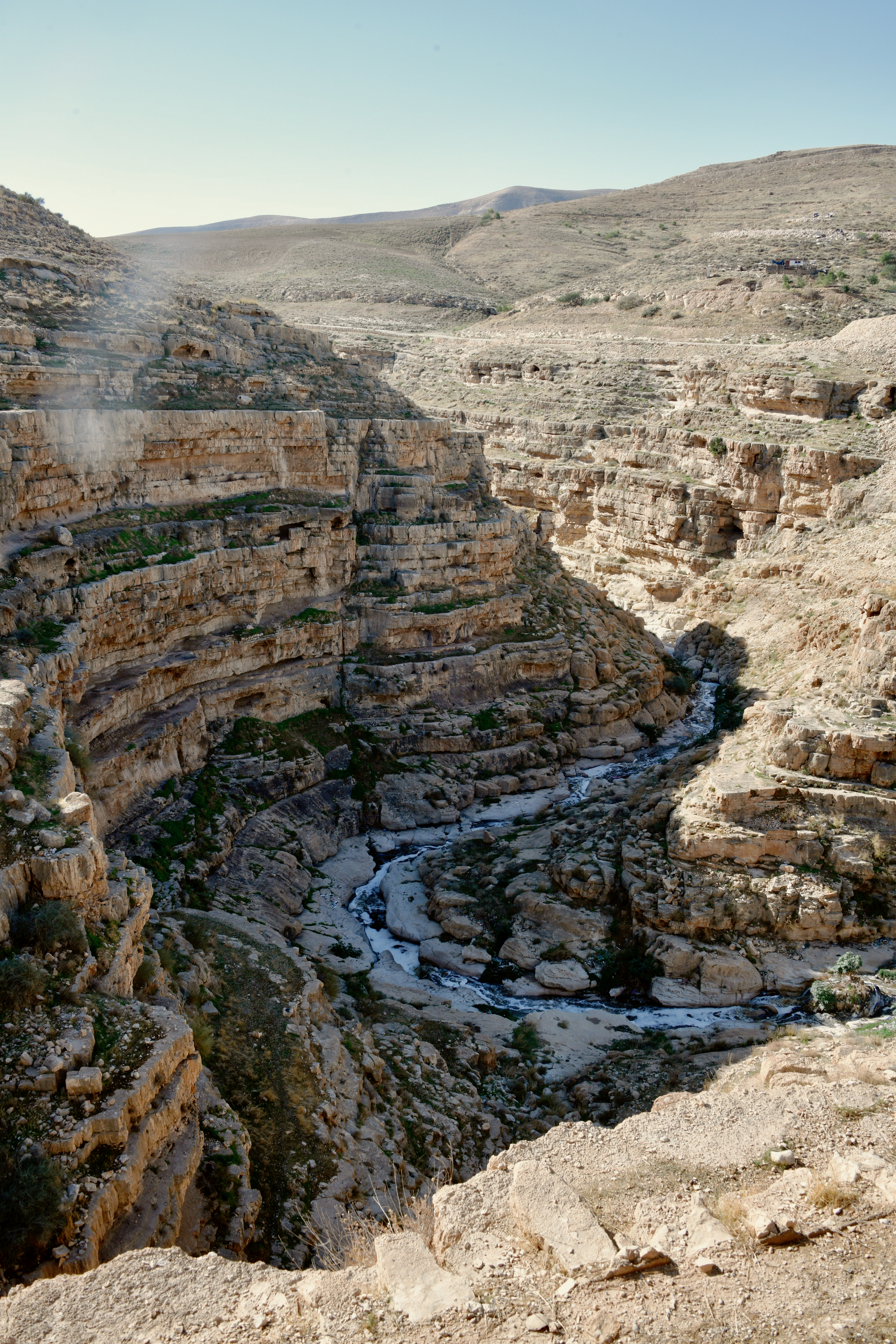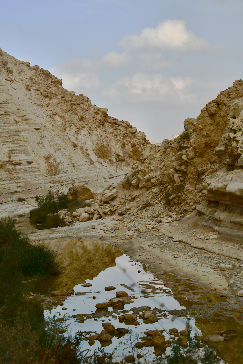
Not every guide can take you “off the beaten track” but I can.
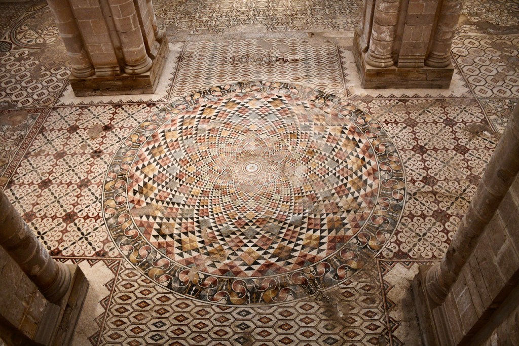
Hisham Mosaic Floor Revealed
This post is to announce the completion in 2022 of the restoration work and building of a walkway and roof over the ruins of the hammam at Hisham’s palace in Jericho at an estimated cost of $11.4 million with financial support from Japan. Covered since 1930, the mosaic floor of the hammam or bathhouse is now displayed in all it’s glory. It is one of the largest mosaics discovered, measuring 827 square meters in 38 panels, in 21 colors with a total of 7 million tesserae. The mosaics are mostly complex geometric designs, here are some photographs of the newly uncovered mosaics.


The palace gets its name from one of the sons of Abd el-Malik who built the Dome of the Rock in Jerusalem, Hisham (who ruled from 723-743) because of an inscription containing his name, in ink on a marble slab, found at the site by archaeologist Dmitry Baramki. Based on the artwork in mosaic and stucco including human figures that decorated the palace, Robert Hamilton who was Director of Antiquities at the time under the British argued that the palace was a residence of al-Walid b. al-Yazid (ruled 743-744), a nephew of Hisham who was well-known for his extravagant lifestyle.
With the uncovering of the incredible 7th century Ummayad mosaic floor, Hisham’s Palace has become a must-see site and I would be happy to take you there on your next visit. The stucco was mostly removed from the site under the British and can be viewed at the Rockefeller Museum in Jerusalem.